Themes
Biodiversity
Linking environmental descriptors, land cover and habitats and change to the distribution, abundance and richness of fauna and flora.
Living Earth is well suited to support the assessment of biodiversity in existing and proposed protected areas as well as the wider landscape. In particular:
- The FAO LCCS categories can be translated directly to many habitat classes in national taxonomies, with the inclusion of contextual information (e.g., peat extent) providing greater capacity to discriminate and map habitats.
- The environmental descriptors used to construct the land cover maps in Living Earth can also provide input to species distribution models for both plant and animal species and communities.
- The maps of land covers and habitats and predicted species distributions can be used to better explore and understand past and current connections between habitats within and outside such focus areas.
- The products generated by Living Earth can be used to establish whether past management and outcomes have been effective, inform future plans and policy decisions, and monitor progress towards ambitions over varying time frames.
- Living Earth is introducing new capacity to retrieve/classify or use environmental descriptors relevant to inland (freshwater), coastal (intertidal) and marine waters, including water surface, water columns and benthic environments, and provides a connection to change processes occurring on the terrestrial surface.
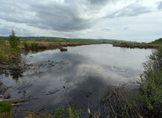
Ecosystems are generally complex and difficult to define and, more often than not, comprise a wide range of habitats; typically combining semi-natural, agricultural and non-natural components. This part of the website describes the main habitat groups in Wales, and the more recognisable seral phases of those habitats, some of which are now confined to small fragments and located in areas unsuitable for human land-use. The more common reference states (arising through natural processes) and modified states (arising as consequence of anthropogenic impacts) are described. These illustrate how different pressures have impacted on Wales' ecosystems over varying time frames and led to the habitats that we see today. The main management pressures on each habitat are identified.
Knowledge of reference states (e.g., in terms of vegetation structure and floristic composition) is important to define (on the ground and also through Earth observations and other spatial assessments) as this informs and can promote strategic restoration programmes that take into account the likely impact on biodiversity associated with each habitat. In Wales, most habitats do not exist in the reference states largely because of human activities but also climate change. Hence, a better term to use is benchmark states, which can be described either from expert knowledge or direct measurement.
According to the latest agricultural statistics, the area of agricultural habitats in Wales is 1,677,072 ha, which represents c.80% of the land area, which increases to 88% when common land is included. These habitats comprise a mix of arable habitats, permanent grassland, rough grazings, woodland, scrub and hedgerows. Hay meadows and pastures, which are also considered in the section on semi-natural habitat components, have been included here because they are essentially agricultural habitats and would not exist without the appropriate management regimes.
Arable habitats
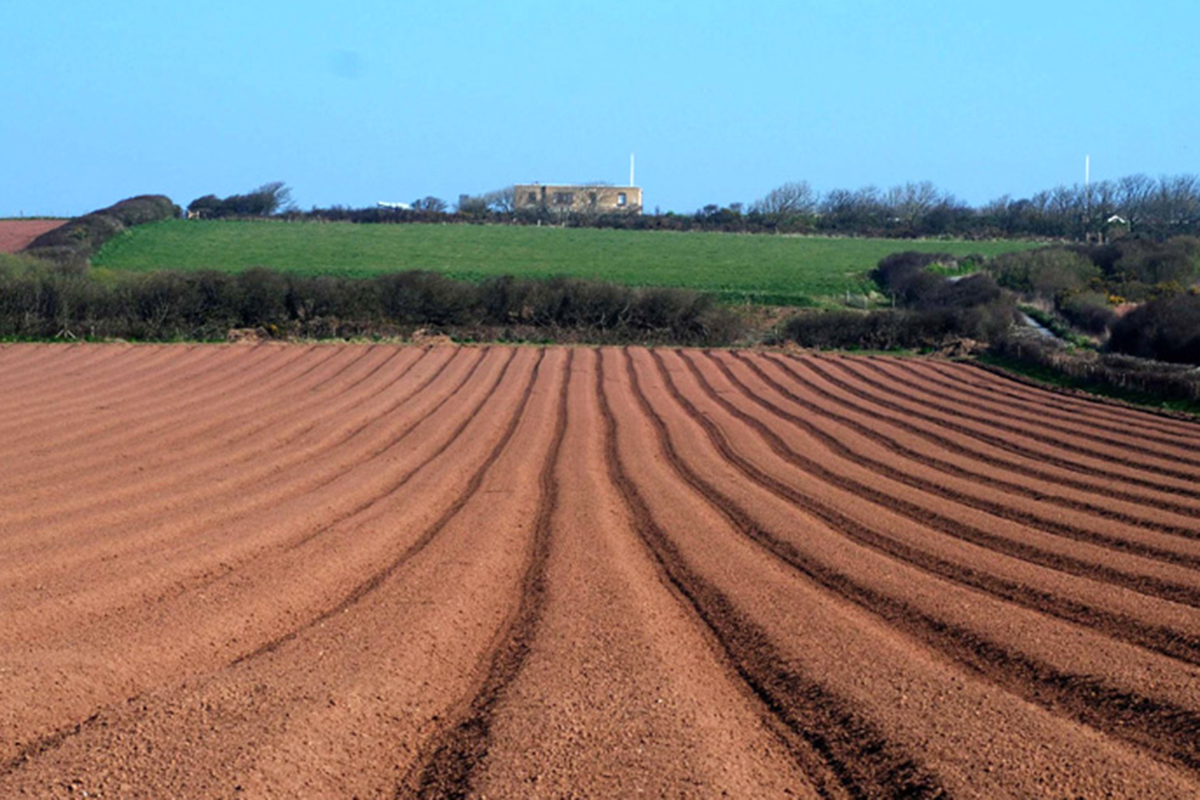

Sadly, the vast majority of cultivated crops in Wales are planted right up to the field boundaries, heavily fertilised and sprayed with both herbicides and insecticides, leaving the crop virtually devoid of biodiversity value. This is a relative trend in Wales at least and the situation could still be recovered to some degree through the availability of appropriate incentives in the agri-environment scheme and through modifying the qualification guidelines for the selection of arable Sites of Special Scientific Interest so that it is possible for sites in Wales to be designated. In the absence of these changes the outlook for the threatened fauna and flora associated with arable land in Wales is bleak, and fields of poppies (Papaver rhoeas) and the song of yellowhammers (Emberiza citrinella) will be consigned to the past.

In the current climate, the plants, insects and birds associated with arable habitats in Wales are under serious threat of disappearing from the landscape. It is a failing of nature conservation that, despite covering about 10% of the land area, there is only one protected site in Wales that was designated for the protection of arable plant habitats.
Agricultural grasslands
The vast majority of grassland habitats in Wales are agriculturally-improved and support little of biodiversity interest for either the fauna or flora. The loss of species-rich hay meadows from the Welsh landscape is well documented, with more than 95% being lost, primarily through conversion to silage and permanent pasture, since the 1950s. Of those that remain, many are degrading in quality, either through eutrophication (from neighboring fields and/or nitrogen depositions), or from neglect. Vast tracts of grassland in Wales are now virtually barren of biodiversity interest and it is now possible to drive around the Welsh countryside for hours in winter and not see a flock of thrushes, finches, larks or buntings such is the damage caused by decades of overgrazing, ploughing, reseeding, fertiliser treatments and pesticide applications.
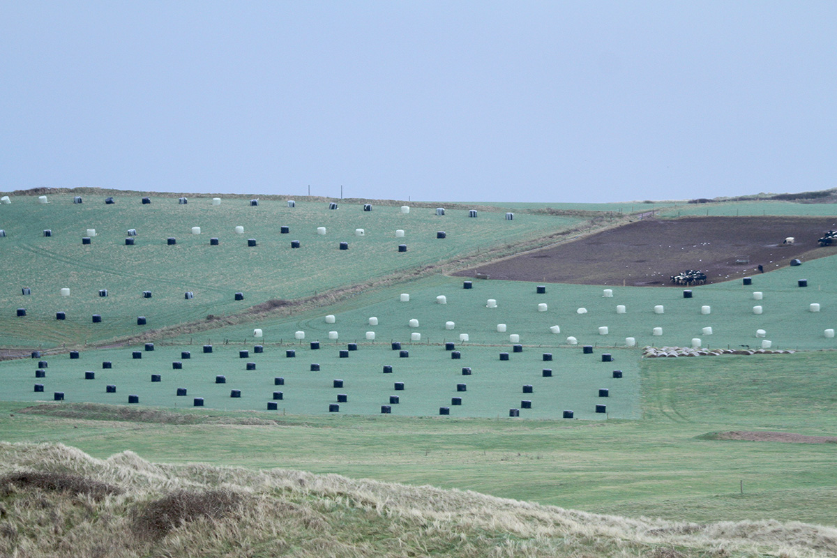
Silage fields are becoming increasingly common in the Welsh landscape, replacing not only hay meadows but also areas previously dedicated to producing other fodder crops. This ongoing process of conversion to silage is one of the major threats to biodiversity in the wider countryside of Wales.
Hedgerows and hedgebanks
It is estimated that some 50% of hedgerows in the UK have been removed since the early 1950s, primarily to maximise food production in the aftermath of World War II. The main hedgerow components in Wales are blackthorn (Prunus spinosa), hawthorn (Crataegus monogyna) and European gorse (Ulex europaeus), though a wide variety of other trees and shrubs also commonly contribute. Hedgerows play an important connectivity role in the UK countryside, providing links between ever-more fragmented patches of semi-natural habitat. They also provide an important early source of pollen and nectar for pollinators, important breeding and sheltering sites for birds and mammals, and an important source of autumn berries, particularly for migrating winter thrushes.
For these reasons, the timing of any hedgerow management is critical. If trimming occurs in early spring or summer it will not only disturb nesting birds, it will also impact on the availability of spring flowers for pollinators and consequently the availability of autumn berries. In the not too distant past, this was considered the optimum time for hedgerow trimming. Currently, the favoured time for thrashing and trimming is in late summer/early autumn, removing the vast majority of fruits before the migrating winter thrushes arrive.
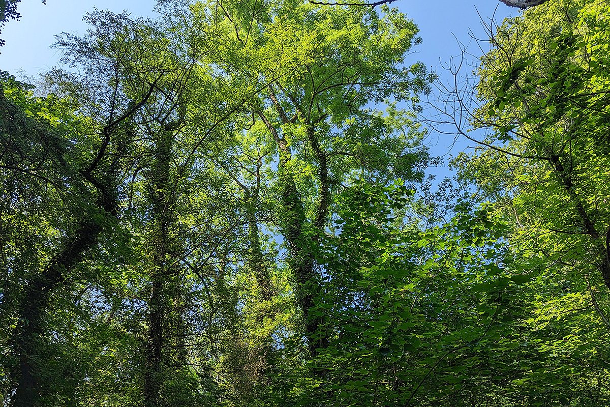
Wales has a diverse range of semi-natural ecosystems that exist primarily in a modified state, with these including forests, woodlands, scrub and bracken, grasslands, heaths and mires, fens and swamps, as well as standing water and water courses. Around the coast, the main habitats are coastal dunes, cliffs, boulder fields and screes and those associated with intertidal areas. Recognising the value of these habitats and providing a benchmark to inform and target restoration is essential, particularly as significant knowledge has been lost over generations because many reference states no longer exist.
Forest, woodland and scrub
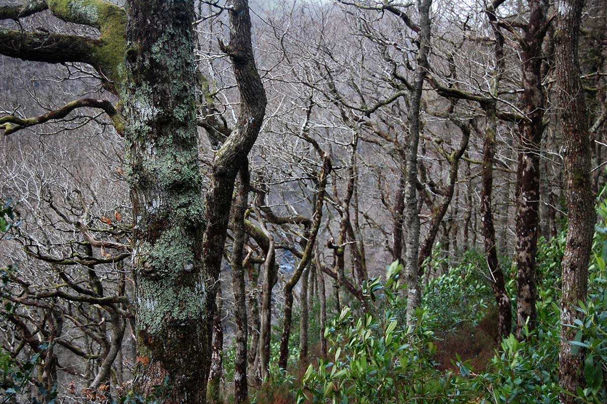
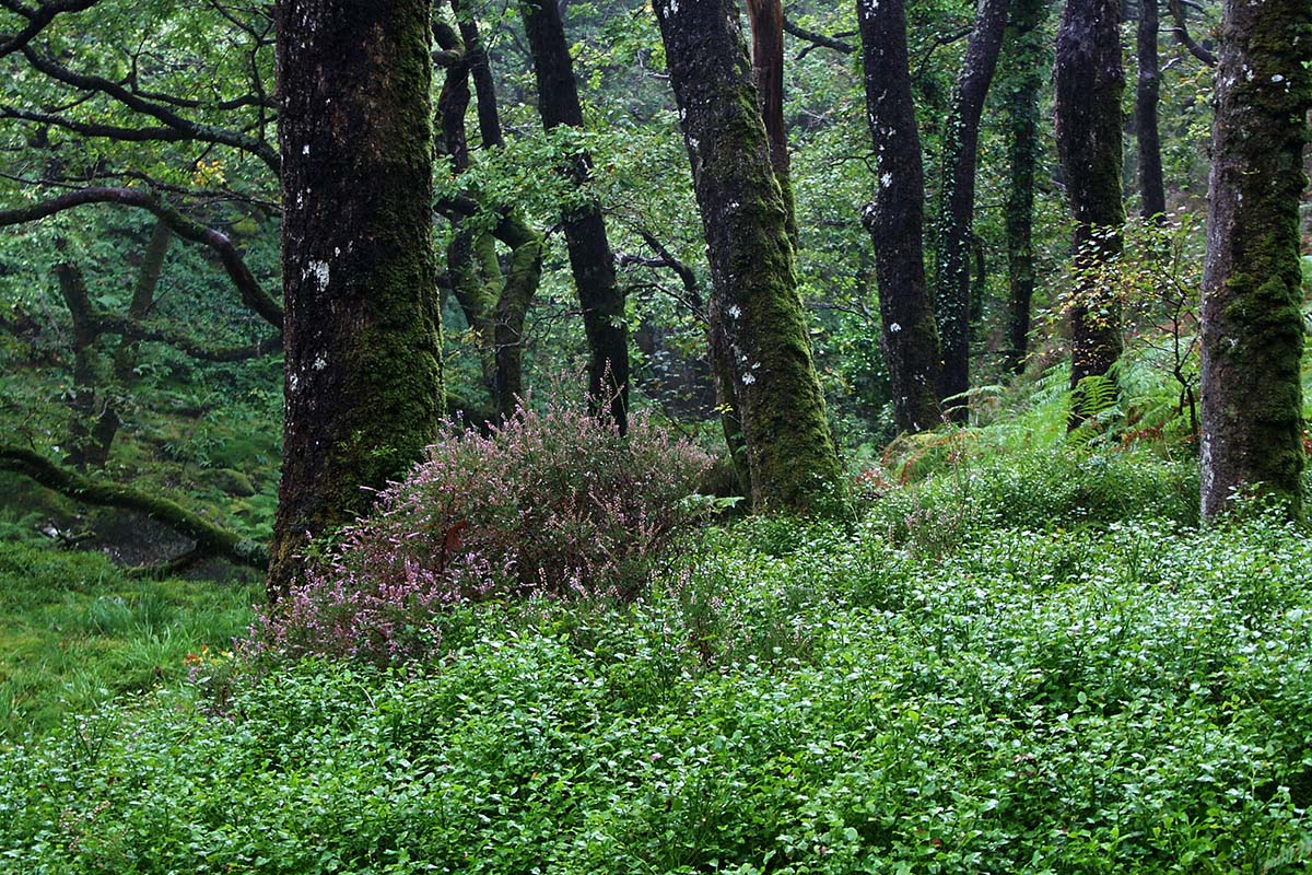
Most sessile oakwoods in Wales are single-aged and intensively sheep-grazed with little, if any, successful regeneration (see modified states).
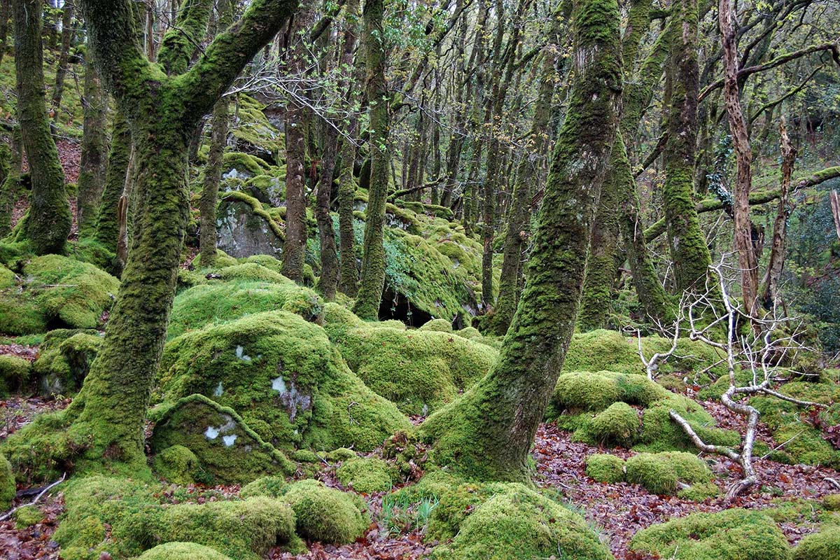
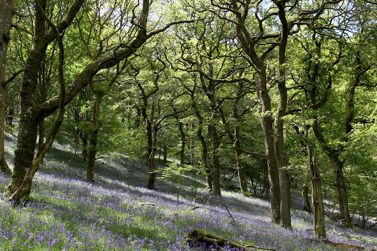
The bryophyte and lichen interest in these woods tends to be lower than in more oceanic examples of the habitat, but there can be a dense population of woodland birds, with the bracken providing cover for the ground nesting Wood Warblers (Phylloscopus sibilatrix) and tree pipits (Anthus trivialis). These young woods are also favoured by birdwatchers and tend to be populated by large numbers of nest boxes, primarily to attract Pied Flycatchers (Ficedula hypoleuca) and Redstarts (Phoenicurus phoenicurus) that will struggle to find ‘natural’ nest sites in young trees.



Other semi-natural habitats
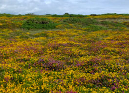
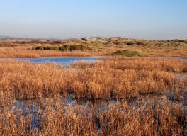
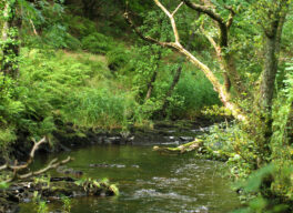
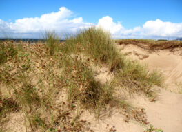
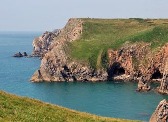
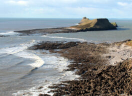
Some of our non-natural ecosystem components have important roles to play.
Urban terrestrial habitats
Urban terrestrial habitats are undervalued, both for their current natural history importance and as a teaching resource. There is no more powerful illustration of habitat succession than the image of nature reclaiming a former industrial site. In fact, brownfield sites and abandoned industrial areas are important both as reference points for our cultural history and as snapshots of how abandoned land will develop in the future.
The so-called ‘alien’ flora of Cardiff docks, which was documented in the late 1800s in the first Cardiff Flora, still persists at one or two locations as a historical reminder of more illustrious times for the docks. Sadly, these historically important areas can be extremely difficult to access and are now in danger of being lost to development, instead of being used an invaluable resource for bringing local history to life and stimulating an interest in the unique flora and fauna of the area.
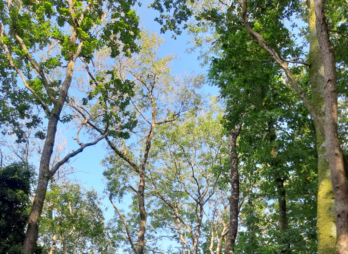
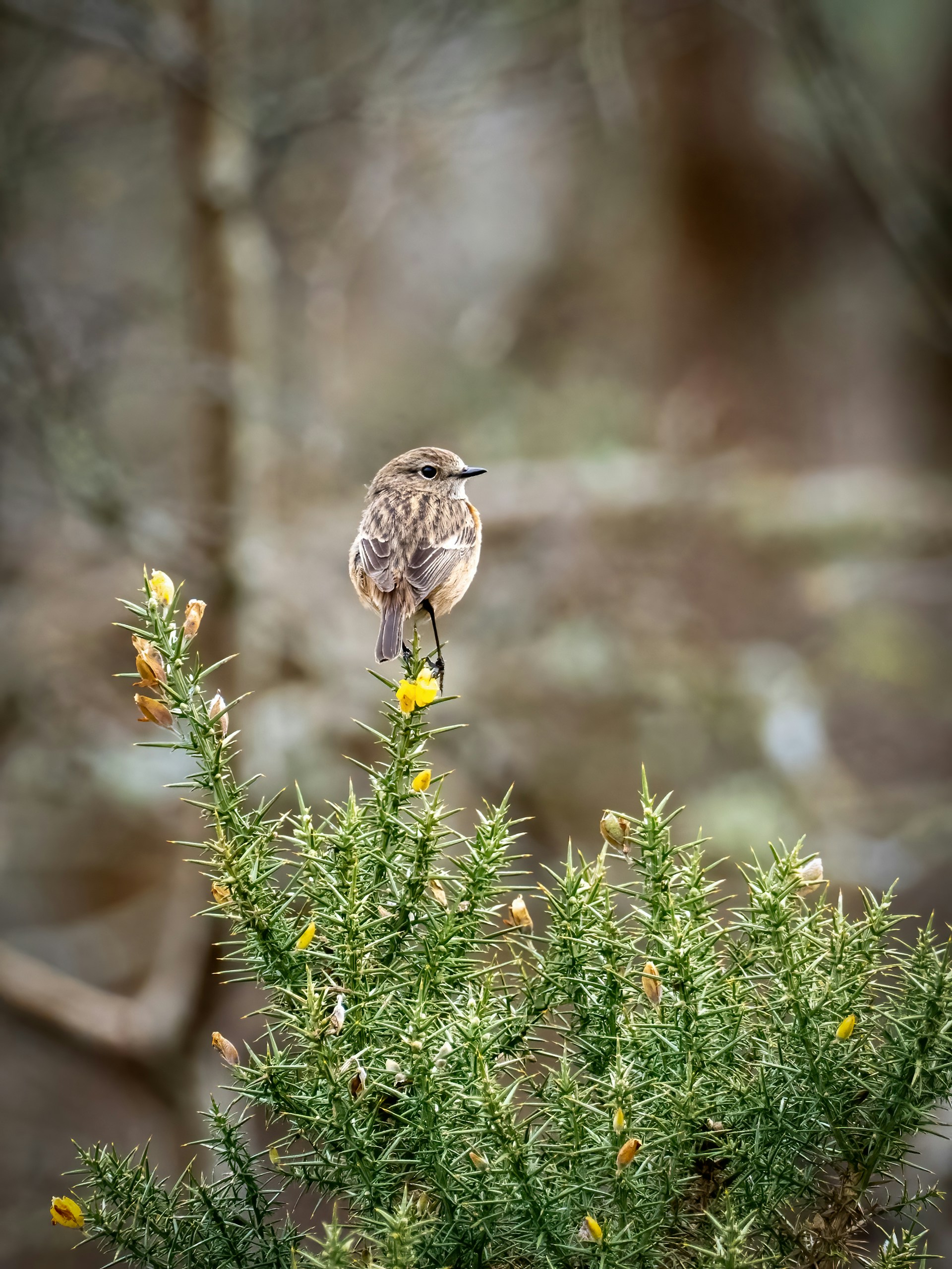
Different species have different habitat requirements or ecological niches, some of which are clearly defined in the scientific literature. Habitat mapping undertaken as part of the Living Earth project can help to delineate expected ranges of often-iconic species and improve our understanding of actual or realised species distribution. This may include the response of habitats and/or species to climate change, incorporating invaluable time series of data held by Local Environmental Records Centres.
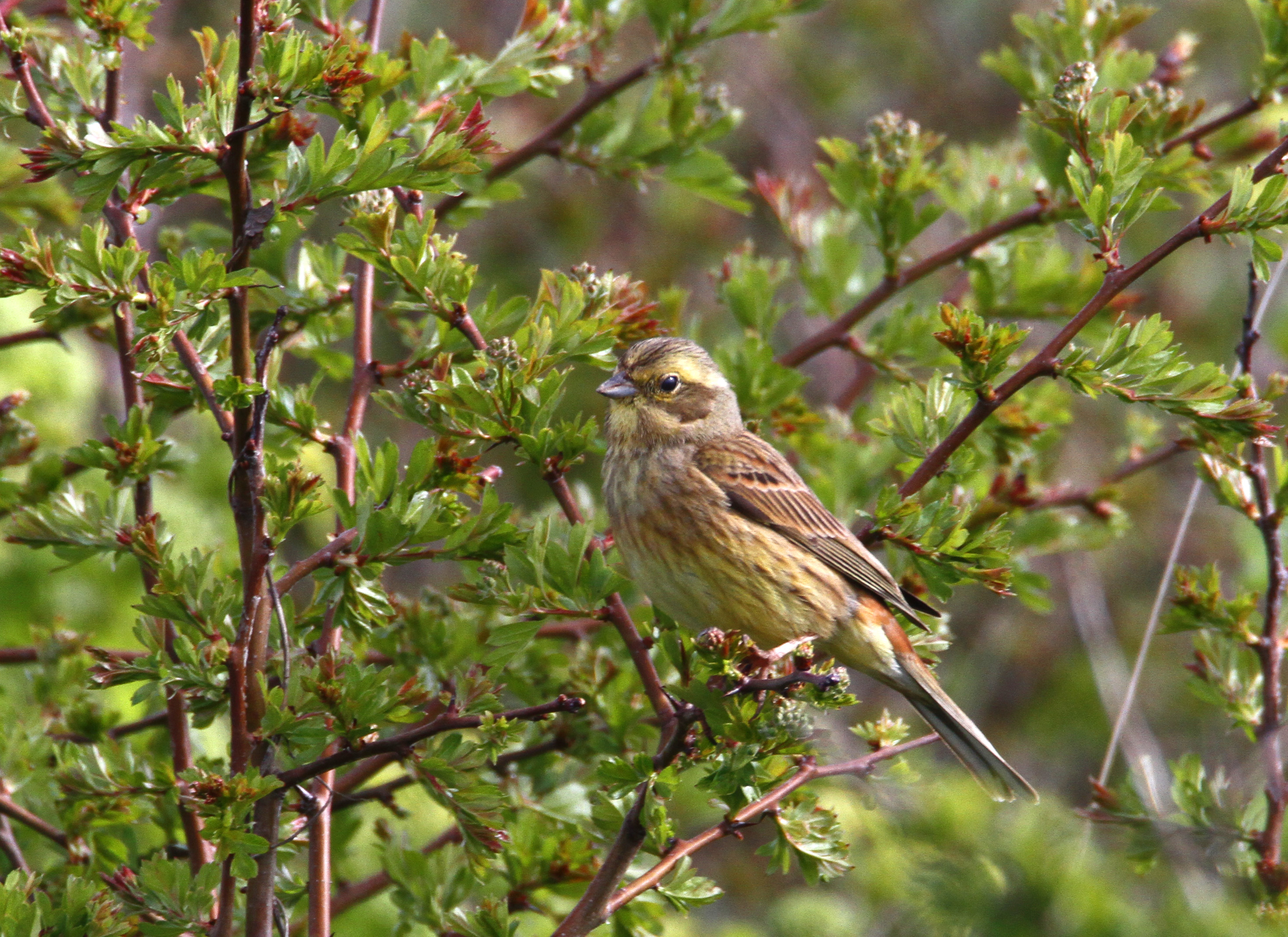
Since then, their numbers have suffered a catastrophic decline and, in 2018, reports suggested that the Pembrokeshire breeding population may well have fallen to less than 100 pairs. This pattern of decline is being replicated throughout Wales and the distinctive song is now evocative of times gone by in large areas of the Welsh landscape.
Living Wales aims to identify and understand the characteristics of the remaining stronghold areas and establish how these landscapes might be replicated to facilitate the conservation of yellowhammers and reverse the ongoing decline.
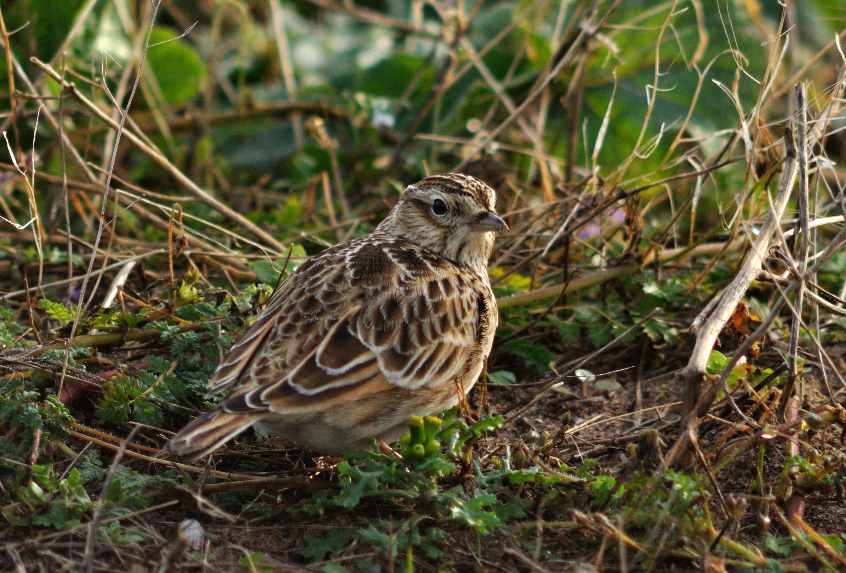
However, as a consequence of the decline in arable farming in Wales and the increased use of pesticides where cereals are still grown, there are fewer and fewer stubbles available to sustain our wintering farmland bird populations.
One aim of the Living Wales programme is to detect changes in the number and type of winter stubbles in the Welsh landscape. Despite the dependence of farmland birds on weedy winter stubbles, there is no legal requirement or protection for this habitat.
We are particularly interested in learning the locations of winter stubble fields, whether there are plants growing between lines of stalks, whether stock are present in the stubble fields and, finally, whether the fields are attracting birds.
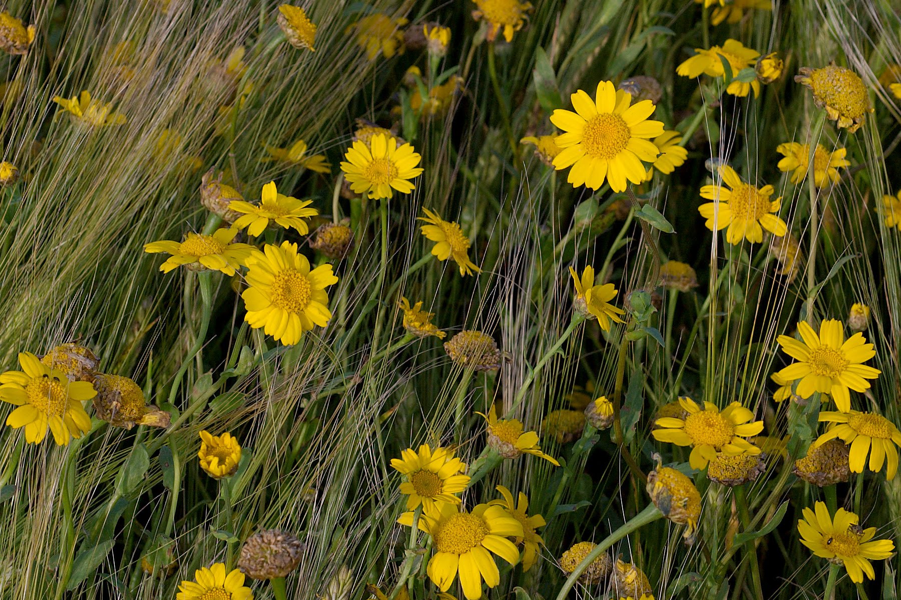
However, arable habitats have been declining since the late 1800s, with these declines gathering momentum from the 1950s onward.
During this period, the breeding populations of farmland birds such as the Grey Partridge Perdix perdix, Lapwing Vanellus vanellus, Corn Bunting Emberiza calandra, Turtle Dove Streptopelia turtur, Tree Sparrow Passer montanus and Yellowhammer Emberiza citrinella suffered dramatic declines. In fact, even the House Sparrow and Starling breeding populations have crashed by c.50-70% since the 1970s. The losses experienced by farmland birds were mirrored by similar declines in the flora associated with arable fields, with 30 of the 100 most rapidly declining plant species in the UK being plants associated with arable farming.
Changing agricultural practices and agricultural intensification have been responsible for these losses, notably changes in crop rotations, increased applications of herbicides and pesticides, improvements in seed-cleaning methods, the development of nitrogen responsive cereals and a related increase in nitrogen applications.
In Wales, the losses were less pronounced and small areas of species-rich arable land survived into the 21st Century. However, species-rich cereal fields in Wales are being lost at a greater rate than any other habitat: a trend that is being reflected throughout Europe.
In 2016, 392 holdings were growing cereals in Wales and 247,000 ha were under arable management. Only one of these holdings is protected: a Site of Special Scientific Interest (SSSI) of c.20 ha near Mwnt in Ceredigion. Away from this location, the situation is less clear and constantly changing, so we are particularly interested in receiving information on a) where to find the remaining species-rich arable fields in Wales and b) which of these fields are attracting bees, hoverflies and butterflies.
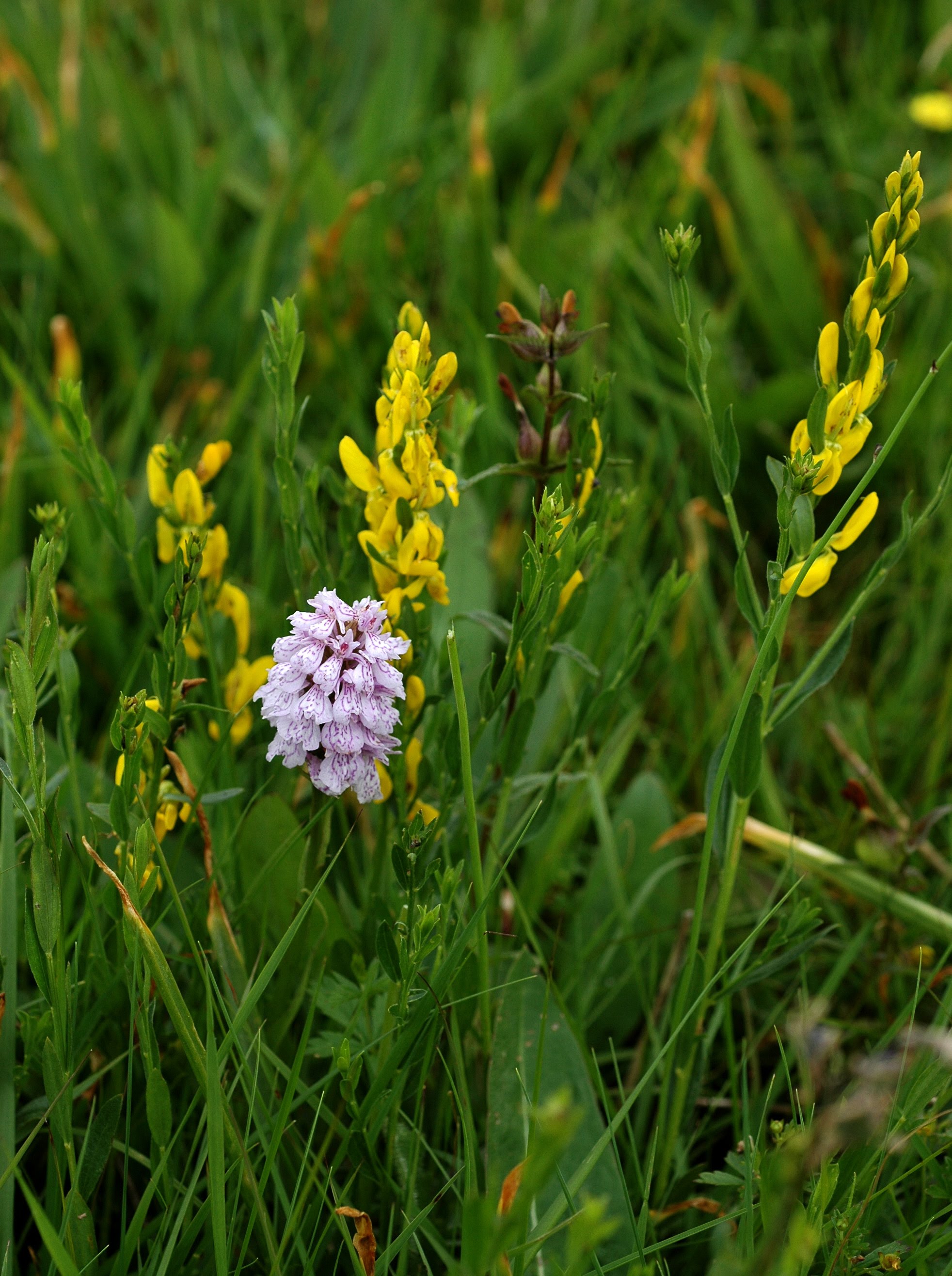
Within this area of Welsh grassland, there are five UK Biodiversity Action Plan (BAP) priority habitats, namely Purple moor grass and rush pastures (32,161 ha), Lowland dry acid grassland (36,473 ha), Lowland calcareous grassland (1,146 ha), Lowland meadows (1,322 ha) and Calaminarian grasslands (50 ha).
These grassland habitats also incorporate three that are threatened at a European level and listed in Annex I of the European Habitats and Species Directive, these are:
- Habitat H6130 – Calaminarian grassland
- Habitat H6410 – Molinia meadows on calcareous, peaty or clayey-silt-laden soils (Molinion caeruleae) habitat and
- Habitat 6210 - Semi-natural dry grasslands and scrubland facies: on calcareous substrates (Festuco-Brometalia)
In Wales, large areas of upland grassland are species-poor as a consequence of the historically excessive levels, or inappropriate timing, of sheep grazing. While in the lowlands, the vast majority of grasslands have been lost or degraded through agricultural improvement (e.g., by ploughing and re-sowing, heavy inputs of fertilisers and intensive cutting or grazing).
These issues, as well as cutting at the wrong time of year, are still a threat for the remaining species-rich grasslands in Wales. In the lowlands, the most diverse hay meadows and pastures are also threatened by under-management, abandonment of traditional grazing or cutting, habitat fragmentation (sometimes through loss to development), atmospheric nitrogen deposition and climate change.
One aim of the Living Wales programme is to detect changes in the extent and condition of species-rich grassland habitats. While many of the more diverse grasslands in Wales are under some form of protection, others remain unprotected and the status and location of these grasslands is less certain and perhaps not documented.
We are interested in learning the locations of the remaining flower-rich meadows and pastures and those that are attracting bees and butterflies.
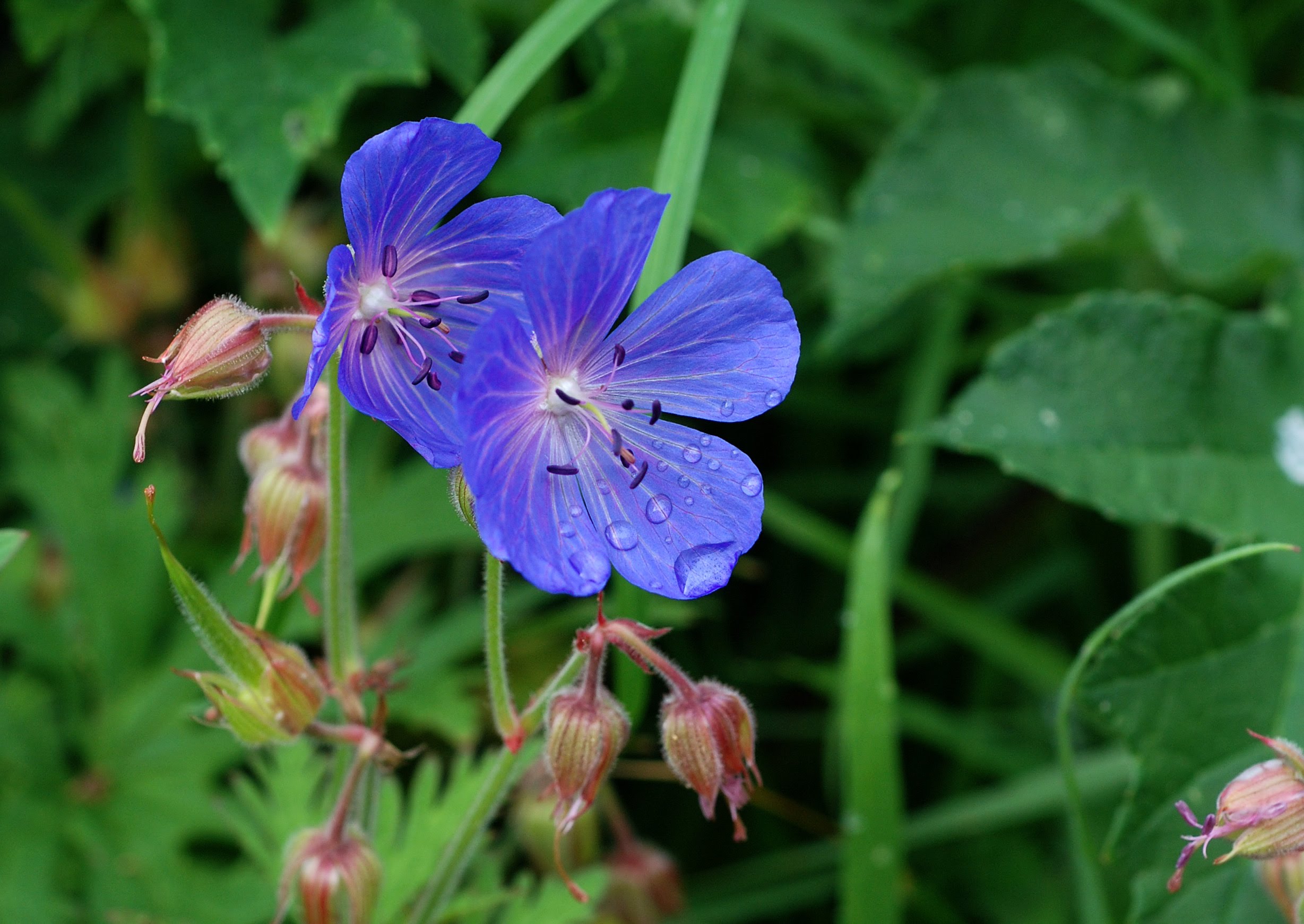
These relatively small patches of flower and pollinator-rich grassland have survived because they were outside the field boundaries.
We are particularly interested in learning the location and extent of the remaining flower-rich road verges and identifying which of these grasslands are attracting bees and butterflies.
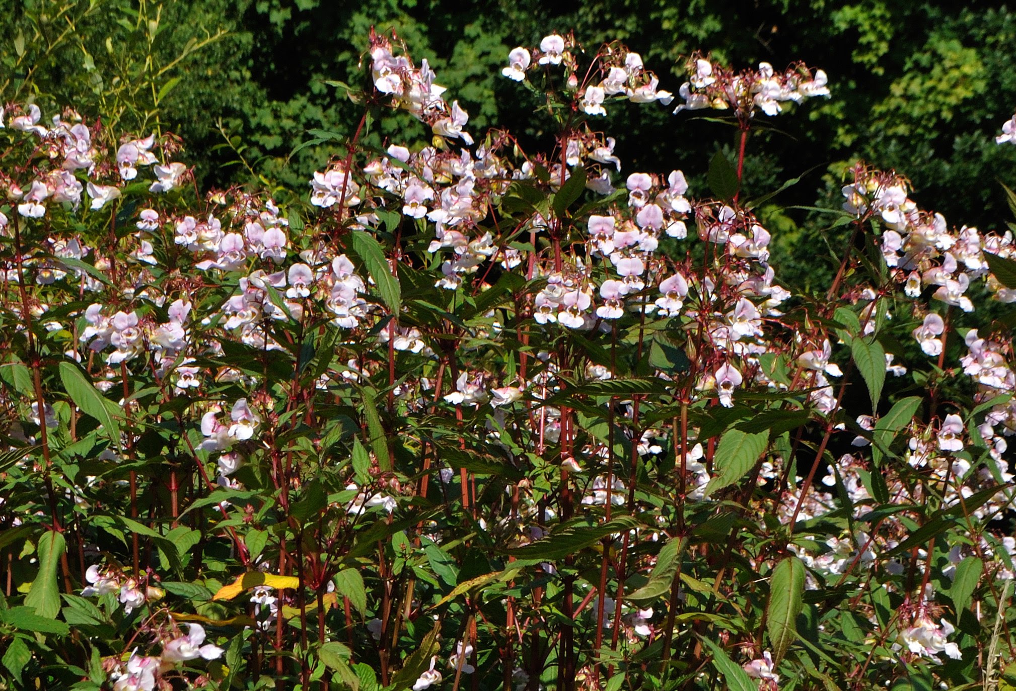
These include several species of plant, namely: American skunk cabbage (Lysichiton americanus), broad-leaved bamboo (Sasa palmata), giant rhubarb (Gunnera tinctoria), Cotoneasters (Cotoneaster spp), Himalayan balsam (Impatiens glandulifera), hottentot fig (Carpobrotus edulis), Japanese knotweed (Fallopia japonica), pirri-pirri bur (Acaena novae-zelandiae), rhododendron (Rhododendron x superponticum), Spanish bluebell and hybrid (Hyacinthoides hispanica and H. hispanica x H. non-scripta) and variegated yellow archangel (Lamiastrum galeobdolon subsp. argentatum).
Of these, rhododendron, Japanese knotweed and Himalayan balsam are recognised as problem species in Wales, while water fern Azolla filiculoides and New Zealand pygmyweed Crassula helmsii can also be problematic.
The total annual cost of invasive non-native species to the British economy is estimated at £1.7 billion, so the potential for economical benefits is considerable, particularly in being able to predict the spread of these species. Remote technologies have a role to play in mapping the distribution of all of these problematic species.
One aim of the Living Wales programme is to detect changes in the extent and distribution of the threateningly invasive species in Wales. We are interested in information not only on locations dominated by invasive species, but also on the locations that invasive species are starting to colonise.
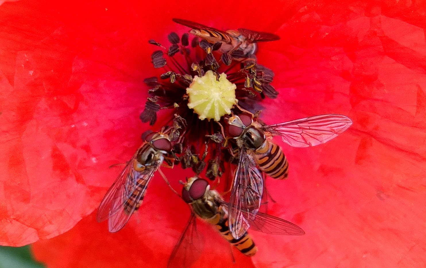
The increasing area of monocultures and increased use of bee-killing pesticides are specific threats for honeybees and other wild pollinators. Some of these insecticides, at concentrations applied routinely in the current chemical-intensive agriculture system, exert negative effects on the health of pollinators, both individually and at the colony level. The loss of biodiversity, destruction of habitat and lack of productive areas for foraging have resulted in a dramatically declining pollinator fauna. On a more general level, industrial agriculture, increased vulnerability to parasites/pathogens and climate change are contributory factors.
In Wales, as in other parts of the UK and Europe, pollinator-rich stands of habitat are becoming scarcer with every year that passes. The loss of >95% of the flower-rich meadows in Britain passed almost unnoticed during the 20th Century and the same is now happening with species-rich arable land. These formerly nectar-rich habitats for pollinators are fast becoming sterile monocultures rendered virtually barren of pollinators by insecticide applications.
One aim of the Living Wales programme is to detect locations that still support abundant and diverse pollinator populations. These will tend to be habitats with a flora that supplies a rich source of nectar, such as species-rich coastal grasslands and heaths, meadows, pastures and arable field margins. At locations where pollinators are abundant, you can often hear the low hum or buzz before you see them. These locations are not well known and often not documented.
We are particularly interested in the locations of pollinator-rich habitats and which of these habitats are favoured by bees, hoverflies and butterflies.