About
Living Earth Projects
Information on landscapes that informs the past, present, and future of our planet.
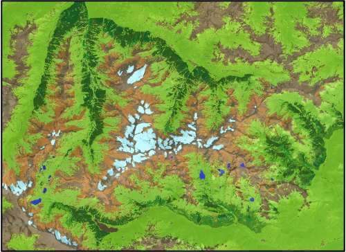
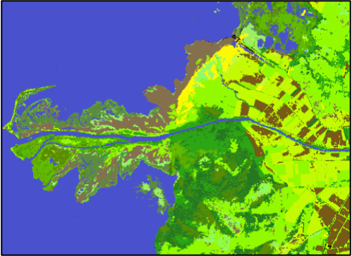
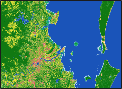
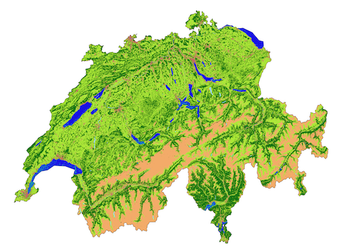
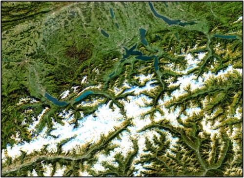
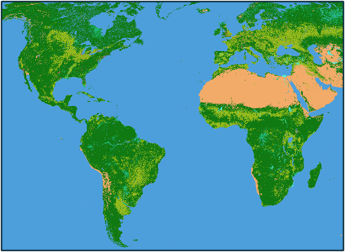
Living Earth uses globally consistent taxonomies for classifying past, current and future land cover and change. The approach is simple in that maps of landscapes (e.g., land cover, habitats) can be constructed from environmental descriptors retrieved or classified primarily from Earth observations, and scalable in space and time because of the use of defined units or categories. Comparisons of the spatial datasets allows evidence on change impacts to be gathered, which can be combined with information on driving pressures to ascertain causes and consequences. This information, which is open, can inform decisions relating to the planning of future landscapes under a range of economic and/or climate scenarios, assess values of ecosystems, assess the realism of ambitions and ecosystem values, and monitor progress towards co-designed plans.
Dynamic Land
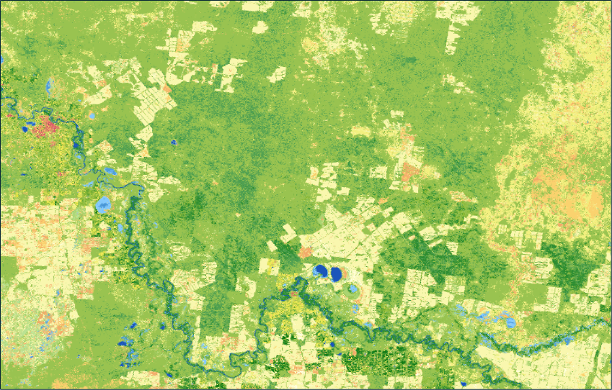
Quantitative land cover contents and map generation through Living Earth.
View Resource
Mamaforest
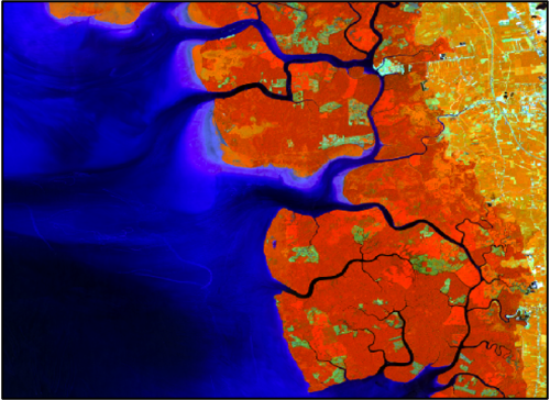
Evaluating sustainable management of the Matang Mangrove Forest Reserve, Peninsular Malaysia
View Resource