Cyclone Jasper landslides
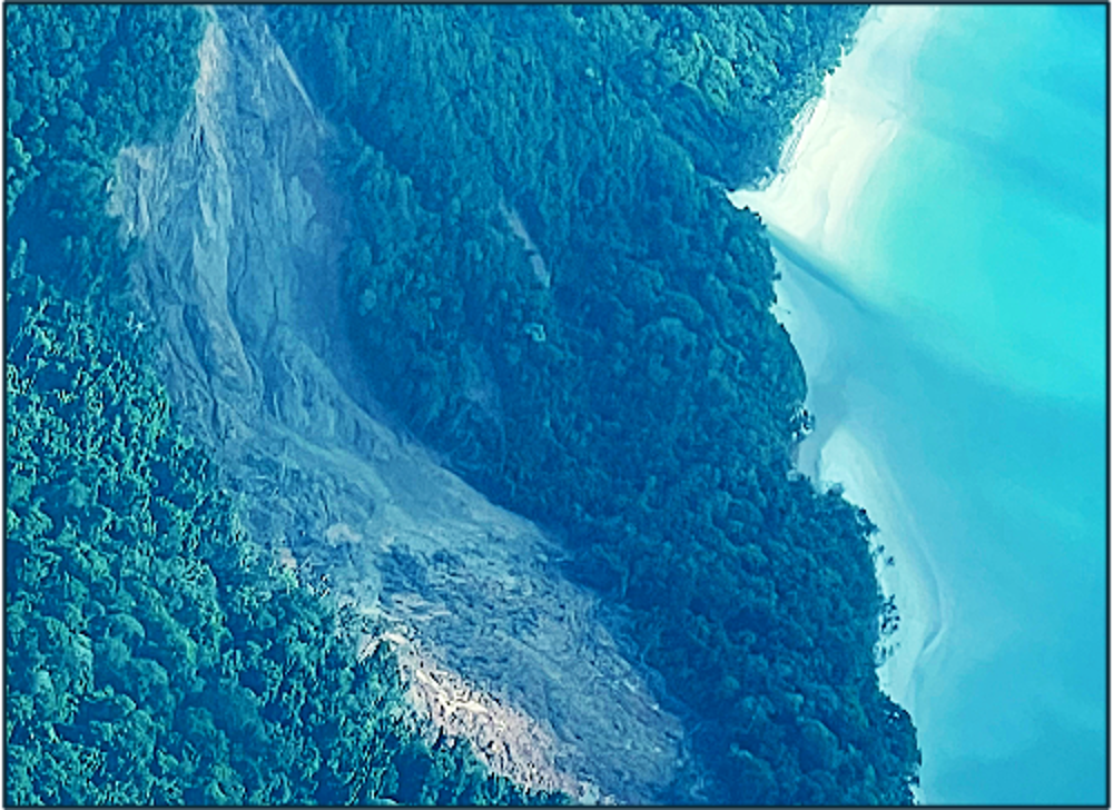
Cyclone Jasper made landfall near Wujal Wujal, Cape York, with over 2250 mm of rainfall recorded in the Daintree region of Far North Queensland. Many of the rivers in the region experienced extensive flooding, including the Barron, Daintree and Mossman, but landslides were also numerous, erosion occurred along the river banks (particularly those without vegetation) and large amounts of sediment were deposited in affected forests and along coast. The Living Coasts Team recorded information on these change impacts and associated pressures using the Earthtrack mobile application and these can be viewed at https://earthtrack.aber.ac.uk/lccs/world.html.
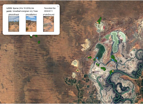
Australian evaluation of Earthtrack.
The Earthtrack mobile application has been evaluated in Australia.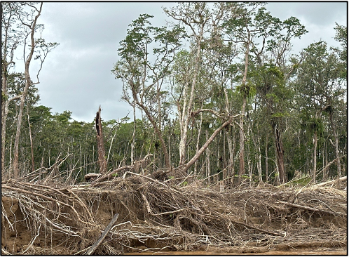
Erosion along the Daintree River
Following flooding along the Daintree River in Far North Queensland, substantive erosion of the river banks was observed, with damage to the marginal rainforests being particularly noticeable.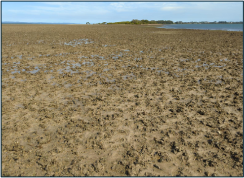
Earthtrack users - water or bare ground
When recording information in the intertidal zone, all areas should be associated with water as if it was high tide.
Supporting ESA's CCI Biomass Project
The ESA CCI Biomass project [link to esa.cci.int/biomass) has generated global maps of above ground biomass (Mg ha-1) at 100 m spatial resolution for 2010 and annually from 2017 to 2020 with further years planned. Establishing changes in AGB between years is problematic, particularly because different radar sensors were used in their generation and environmental conditions vary between years. Whilst not directly quantifying biomass change, Living Earth’s Global Change Framework and Evidence-Based Change Framework is providing evidence for the types of changes occurring, using the detailed land cover maps for Australia and Wales to guide development of the change algorithms. Knowledge of the reasons for change is also been obtained by referencing pressure datasets obtained from a diverse range of sources, including Earth observations, expert knowledge and citizen science records.
43rd EARSeL Symposium, Manchester, UK
Living Earth is being presented in a keynote speech by Prof. Richard Lucas at the Symposum, which focuses on the use of Living Earth to support planetary recovery,
New paper on Living Wales and habitats
A new study from Living Wales is highlighting the importance of using contextual information to support mapping of habitats.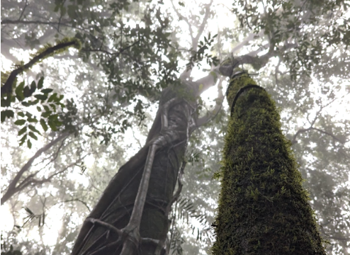
Living Earth and Protecting Our Planet 2023
Living Earth Scientists along with the European Space Agency (ESA), the Centre for Alternative Technology (CAT) and the Eden Project contributed to the STEM event, Protecting Our Planet (POP23). With 262,591, POP23 had made a major contribution to educating our younger generation and teachers on our changing planet and what we can do to help.
Release of national intertidal datasets for Australia
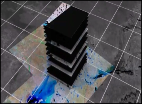
Digital Earth Australia has released maps of the intertidal elevation and other attributes from time-series of Sentinel-2 data.
European General Assembly 2024
Dr. Nezha Acil is presenting on the use of FAO LCCS and Change Framework for understanding change impacts and driving pressures on woody biomass, as mapped through the ESA CCI Biomass project.
The Advancing Earth Observation Forum, Australia
To be held at the Adelaide Convention Centre from 10-12 September, 2024.
Earthtrack photographs of our planet
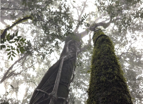
The Earthtrack mobile app is used to record observations of land cover and change including some spectacular photographs.
Living Coasts informing Papua New Guinea
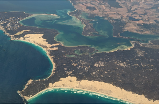
Papua New Guinea is one of the countries being studied in Living Coasts, with a view to providing new information on blue carbon ecosystems.
The Themes section of Living Earth.
Our themes section is now populated with information on land and water, change, biodiversity, accounts and futures.You are viewing 0 of 0 articles
