Learn
Environmental Descriptors
View the wide range of environmental descriptors describing the land, marine and atmosphere at multiple spatial and temporal scales, many of which have been provided through Earth observations.
Browse Definitions and Global Datasets
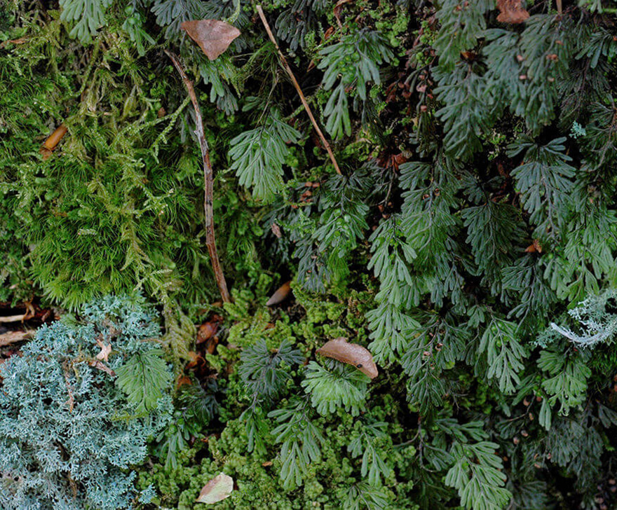
Vegetation life-form (growth form) classes are defined based on structural similarities of plants. Three main life-forms are encountered in nature: woody (trees and shrubs), herbaceous (grasses and forbs) and lichens/mosses.

Distinguishes broad-leaf (primarily flowering plants, including trees), needle-leaf (needle-shaped leaves) and aphyllous (thorns, scales, green stems, branches or twigs).

The study of the timing of vegetation life-cycle events, such as budburst, flowering, leaf colouring and leaf fall. Most plants are evergreen, deciduous, mixed deciduous/evergreen, or semi-evergreen/semi-deciduous, whichever is dominant.

The percentage of the ground covered by a vertical projection of the outermost perimeter of the natural spread of plant foliage. Strongly influences water, energy and matter fluxes of land surfaces, particularly hydrological processes.

The height of a vegetation layer measured from the ground to the average top of the dominant strata (trees, shrubs, forbs, grasses, mosses or lichens).

The type of plants cultivated in the fields during the main growing season, for example maize, potatoes, wheat or strawberries.

Categories of plants which show common attributes and are called by a common name. Important for maintaining genetic diversity and wildlife habitats, and often used as indicators of environmental change.

The total mass of living plant material per woody area. Can consider both above- and below-ground components.

The total mass of living plants that have a non-woody stem, per area.

The chemical content within the leaves of the canopy — examples are chlorophyll (a and b), carotenoids and nitrogen. Changes occur in response to seasons and plant health.

Vegetated areas are composed of a top canopy layer, but also have a vertical structure with different understory layers/strata — tree, shrub, field and/or ground layers.

Vegetation cover that does not take part in photosynthesis — dormant, senescent or dead vegetation, plus the woody parts of plants. Impacts carbon, water and nutrient fluxes, fire frequency, erosion and habitat quality.
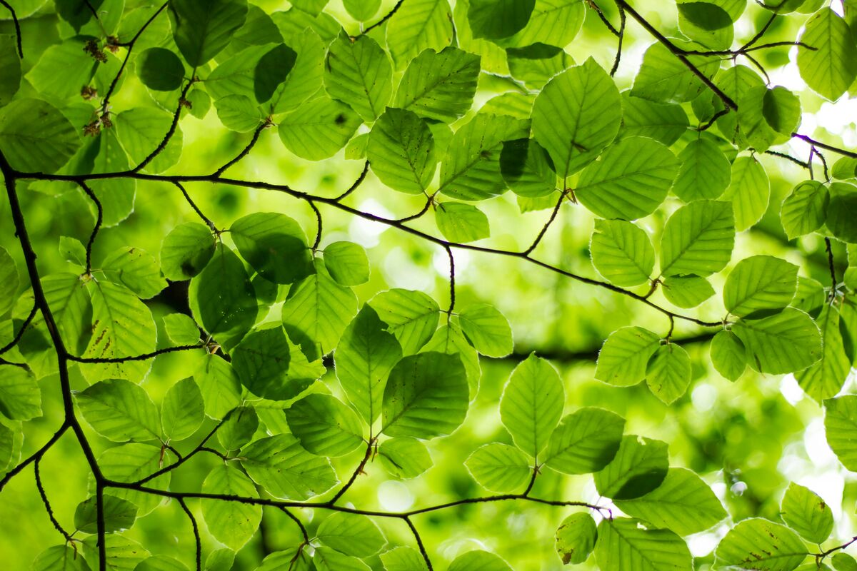
The total area of one-sided leaves per ground surface area. A fundamental property of the plant canopy, playing a key role in solar radiation absorption through photosynthesis and vegetation growth.
Depth of the floor of water bodies and a measure of underwater relief.

The temperature of the uppermost (exposed) index layer of the ocean. SST is a key variable affecting various biological and hydrological processes.

The salt concentration in seawater and an indicator of biological diversity and freshwater inputs.

The net amount of carbon uptake of the ocean through photosynthesis by algae and phytoplankton. NPP measures the productivity of marine vegetation.

A measure of the acidity of oceans, with pH values <7 representing high acidity and those >7 identifying alkaline waters.

The concentration of elements (e.g. oxygen, carbon and phosphate) in the marine water.

The amount of chlorophyll contained within phytoplankton in marine waters. An indicator of marine plant productivity.

The absorption coefficient of various organic materials in the sea water. Higher CDOM reduces light penetration in the water.

A measure of water turbidity. TSM includes both mineral and organic particles and affects light conditions in the water and the distribution of flora and fauna.

The fraction of land area covered by snow. Snow has a very high albedo, which cools the Earth's surface, so snow cover directly affects the Earth's energy balance.

The amount of water contained within the snowpack — the depth of water that would theoretically result from instantaneous snowpack melting. Correlates with snowpack depth and density.

The total depth of the snowpack, used to estimate the amount of snow covering the ground. Linked with snow water equivalent for water stock monitoring and flood forecasting.
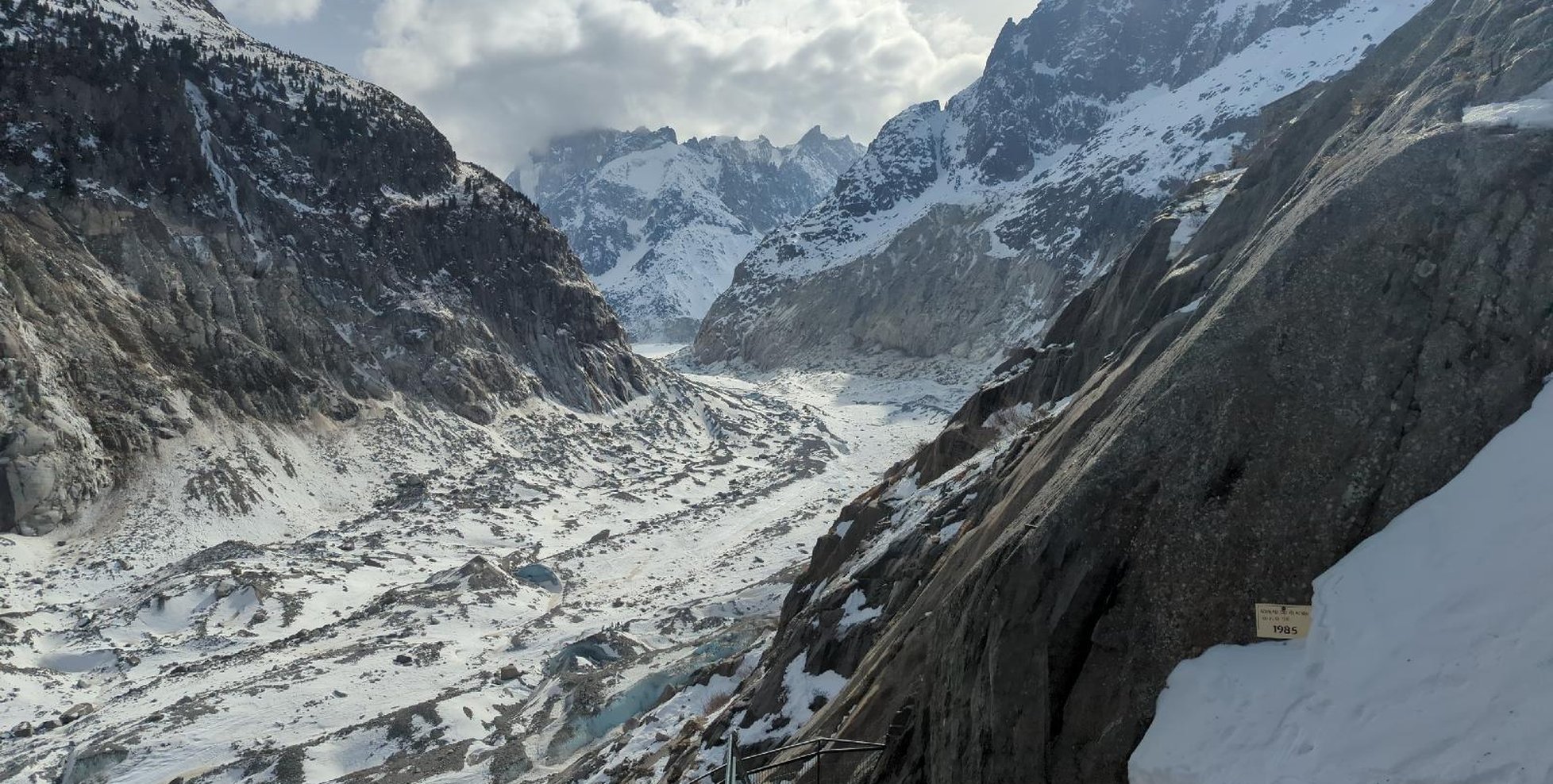
The total area covered by some amount of ice, including open water between ice floes. A typical threshold is 15% ice cover, for both land and water (freshwater to marine).

The location of the boundary between a water body and the adjoining land surface, or a surface covered by water. Note that water can exist as snow or ice.

The underwater depth of the floor of water bodies such as lakes and rivers. Affects the amount of sunlight reaching the floor, which in turn affects plant and fauna life.

The measure of water transparency, used to assess water quality. Drinking water should have a turbidity of less than 4 NTU (WHO). Also affects photosynthetic activity and oxygen concentration in water ecosystems.

The persistence of water at the surface, which depends on precipitation rates, soil permeability and geological formations. Important for agriculture, water supply and biodiversity.

Free-living photosynthetic bacteria, more commonly known as blue-green algae. Single-celled and photosynthetic, living freely in the water column or as mats attached to sediment, rocks and plants — an important component of freshwater ecosystems.

Chlorophyll a is ubiquitous in phytoplankton and higher plants and a proxy for phytoplankton biomass. Cyanobacteria are also considered phytoplankton as they contain chlorophyll a, but they are not algae.

Large, multicellular marine algae (seaweed). See the Big Seaweed Search project for citizen-science recording: bigseaweedsearch.org/explore

The volume of water contained within soils. Soil moisture can influence levels of vegetation water stress and flood risk.

Soil acidity is expressed using the pH scale. Values lower than 7 indicate acidic soils and values higher than 7 indicate alkaline soils. Influences species abundance, distribution and productivity.

Soil can be classified into textural classes including loams, clays and sands. Textural composition influences water-holding capacity and vegetation stress levels.

Urban areas are characterised by the substitution of natural covers with artificial, mostly impervious, covers. These affect the water cycle, carbon cycle, energy balance and biodiversity — for example, bitumen surfaces block water infiltration and groundwater recharge.

Vegetation in cities, classified separately from other vegetation as it is surrounded by impervious surfaces that impact water, energy and material fluxes. Provides ecosystem services such as pollutant and fine-particulate filtering.

The ratio of total upwelling to total downwelling solar radiation at the surface, representing the energy balance at the soil-vegetation-atmosphere interface. Ranges from 0 to 1 — a surface with an albedo of 1 (e.g. snow) reflects back all downwelling radiation.

The radiative skin temperature of the land — a mixture of vegetation and soil temperatures. Plays an important role in the physics of land surfaces, impacting energy and water exchange with the atmosphere.

Digital Terrain Models (DTMs) represent the elevation of bare terrain, whilst Digital Surface Models (DSMs) represent the upper height of all objects on the land surface.

The steepness or degree of inclination of the terrain relative to the plane surface. Influences wind speed and direction, and hydrological flows.

The orientation of a slope, measured clockwise from north. Along with slope, aspect regulates land surface processes including plant productivity, climate and hydrology.

Climate variables include solar radiation, rainfall, air temperature and humidity, pressure, and wind speed and direction. Long-term trends of these variables indicate past climatic conditions.

Air pollutants include gases such as nitrous oxide, ammonia, sulfur dioxide and particulate matter. Their concentrations inform about air quality, which influences plant and animal health.
Browse by Country
 Wales
For Wales, a wide range of environmental descriptors are needed to classify land covers in this mountainous temperate oceanic country, particularly given the prevalence of human-influenced landscapes.
Wales
For Wales, a wide range of environmental descriptors are needed to classify land covers in this mountainous temperate oceanic country, particularly given the prevalence of human-influenced landscapes.
 Australia
 is a diverse country with climates ranging from temperate to tropical and wet to arid and variable topography, soils and geologies that collectively impact on characteristics of water, vegetation and naturally bare surfaces.
Australia
Australia is a diverse country with climates ranging from temperate to tropical and wet to arid and variable topography, soils and geologies that collectively impact on characteristics of water, vegetation and naturally bare surfaces.
 Switzerland
 is a diverse country with climates ranging from temperate to alpine and variable topography, soils and geologies that collectively impact on characteristics of water, vegetation and naturally bare surfaces.
Switzerland
Switzerland is a diverse country with climates ranging from temperate to alpine and variable topography, soils and geologies that collectively impact on characteristics of water, vegetation and naturally bare surfaces.