Living Land Management Wales
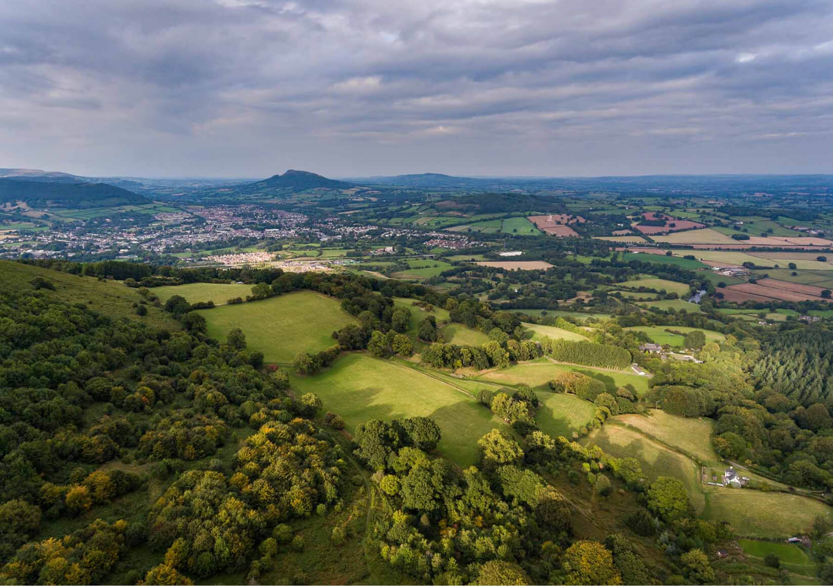
Living Land Management Wales is a Monmouthshire-based project that is using satellite mapping, socio-economic and environmental data, and computer modelling to address the fundamental question ‘How should we use our land now and into the future?’.
Central to the project is Living Wales, a data system that allows users to compare past, present, and future landscapes, look ahead at future trends, and employ principles of natural capital accounting to understand the impact of proposed land-use changes at local, landscape, and national scales.
Living Land Management Wales has two strands: one looking at how this technology could be used to develop land-use plans for Wales as a whole, and the other examining how the capacity within Living Wales could help land managers make decisions about their holdings.
The first strand concentrates on raising awareness of the Living Wales system and providing training in how to use it. Through a variety of targeted training materials and facilitated knowledge exchange sessions, the project team are introducing Living Wales to a wide range of potential users, helping them to understand its potential for supporting a coordinated and collective approach to land management locally, regionally and nationally, and in turn gathering their impressions to inform future system development.
The outcome from this collaborative process will, in time, be a system that can assist in harmonizing competing land-use requirements (food production, flood mitigation, nature recovery, renewables, development, etc.) and developing a holistic and co-designed vision for future land use in Wales, considering such factors as food security, ecosystem services, and nature recovery.
The second strand of the project is working with individual landholders to demonstrate and explore how Living Wales can be used on the individual holding. Four Monmouthshire landowners are working with Living Wales experts and project partners to assess the past and current states of landholdings, explore what changes might be appropriate, model the impact of actual or proposed land-management decisions, and evaluate the possible impacts of those changes in terms of yield, natural capital, ecosystem services, farm efficiency, and the proposed subsidy regimes.
Through these two strands Living Land Management Wales will demonstrate how innovation and technology such as Living Wales, along with socio-economic and environmental data analysis and climate modelling, can be used to inform and enhance integrated long-term decision making for sustainable local food production, support preventative action to reverse the nature and climate emergencies, and build understanding of the value of our land in a changing climate.
Living Land Management Wales is a collaborative partnership project delivered by Aberystwyth University, Dwr Cymru Welsh Water, Monmouthshire County Council, and Natural Resources Wales.