LivingEarth

  • About
    Our Projects Publications
  • Tools
    Interactive map Get the data Analyze the data Earthtrack.app
  • Resources
    Developer Hub
Remote Sensing Algorithms
  • Home

Remote Sensing Algorithms

A range of satellite data based products are available globally and/or regionally. The products provide valuable spatiotemporal information for a range of environmental descriptors, including Leaf Area Index (LAI), canopy height (m), Net Primary Productivity (NPP) and phenology. The following details algorithms that are existing or have been developed through Living Wales to retrieve continuous or classify categorical descriptors.
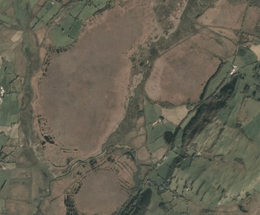
Vegetation Algorithms
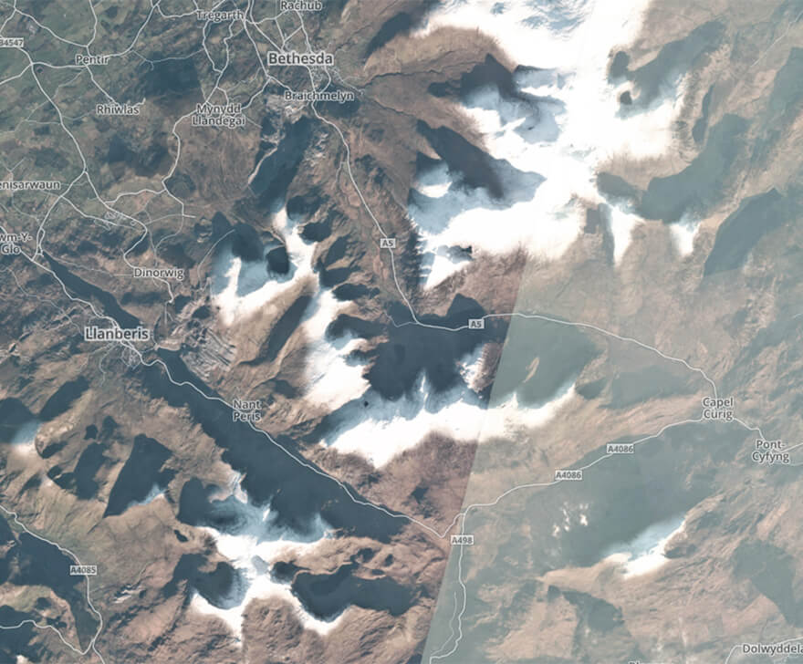
Snow Algorithms
Snow Algorithms
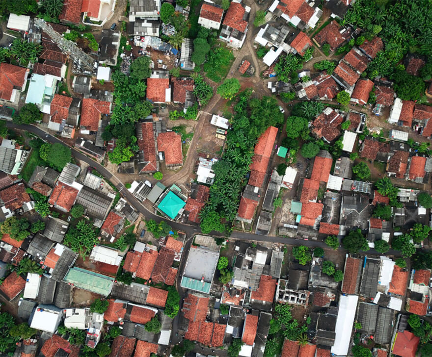
Urban Algorithms
Urban Algorithms
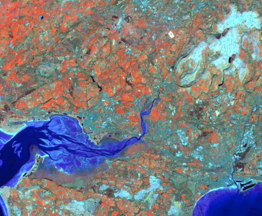
Water Algorithms
Water Algorithms
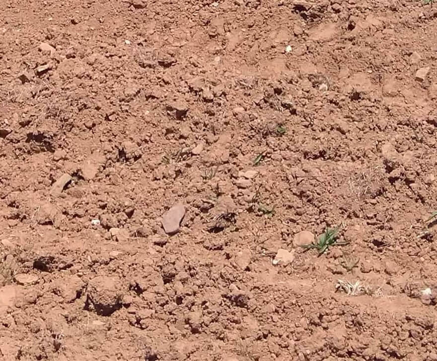
Soil Algorithms
Soil Algorithms
Energy Algorithms
Energy Algorithms
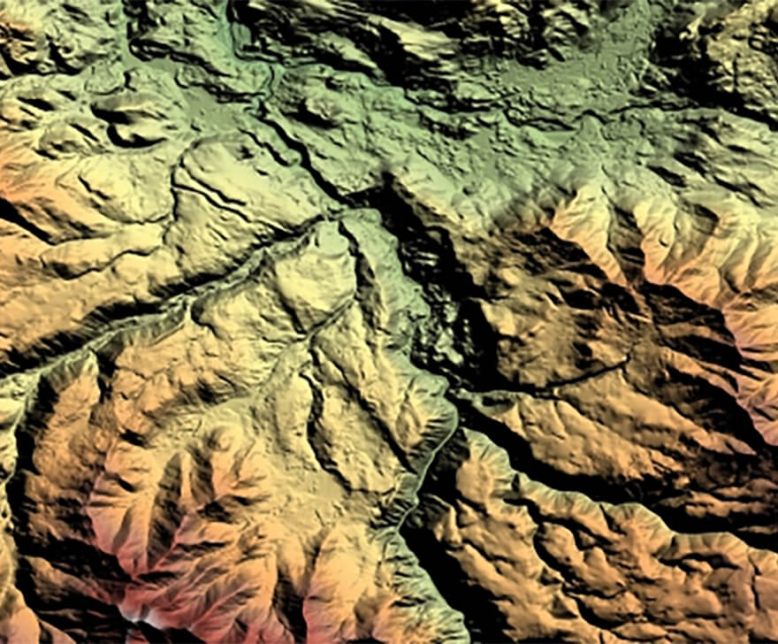
Terrain Algorithms
Terrain Algorithms

help us make change happen…

Find out how you can contribute to or collaborate with Living Earth by joining our community....

LivingEarth

sites

  • About Us
  • News
  • Jobs
  • Process
  • Past and Present
  • Future Lanscapes

Countries

  • Wales
  • Australia

Tools

  • Interactive Map
  • Get the data
  • Analyse the data
  • EARTHTRACK App Verification

Earthtrack App

© 2023 livingearth