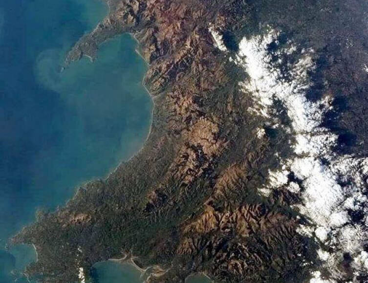
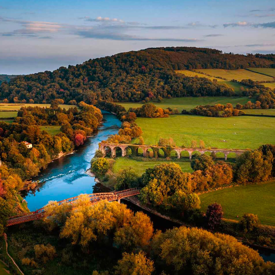
Wales
Novel world-first concept that aims to capture the state and dynamics of Wales’s landscape
Past & Present LandscapesView all
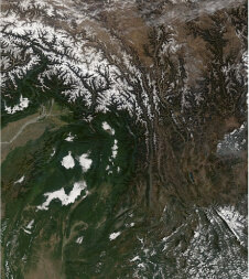
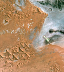
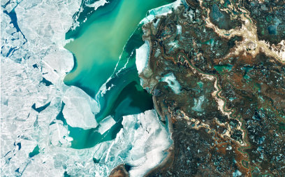
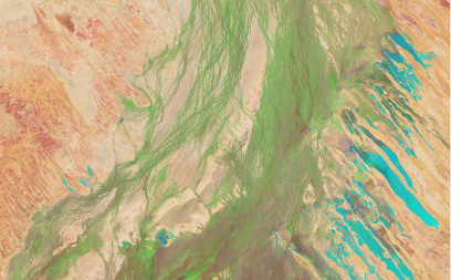
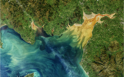
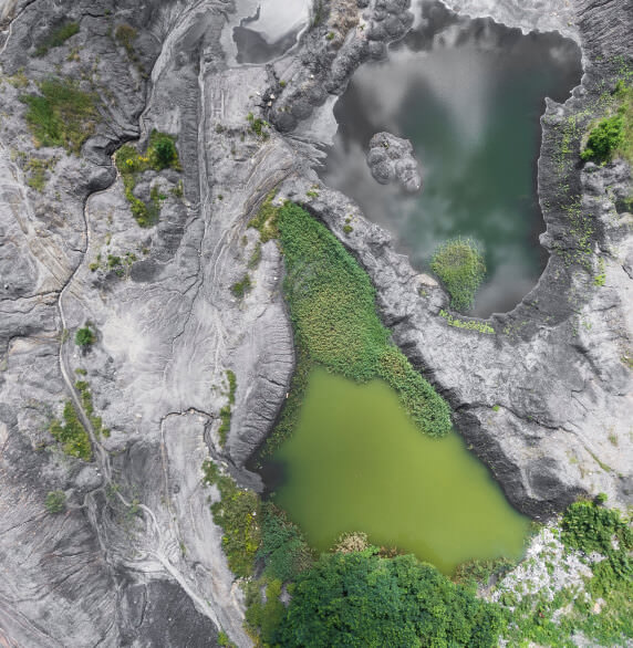
From knowledge of the past, we can inform the future but we need the tools to capture how we have historically shaped the landscapes of today. Earth observation data from satellites and aircraft give us a unique insight and so we have worked to develop a series of globally-applicable tools that allow us to describe, map and monitor land covers, habitats and ecosystems.

Analysis Ready Data
Download and pre-process satellite sensor data to an analysis ready format

Environmental Descriptors
Obtaining from existing sources or algorithms for retrieving or classifying from Earth observation data

Mapping
Combining the environmental descriptors to generate maps of land cover according to the Food and Agriculture Organisation (FAO) Land Cover Classification System (LCCS).
Monitoring
Consistenty describe and quantify change based on impacts and pressures
Validation and calibration
Record environmental descriptors, land cover, habitats and change on the ground
ToolsGo to Tools

See on Map
Environmental descriptors, land cover, habitats and change

Get the data
Download or stream the data to your computer

Analyse the data
Access the Welsh Data Cube
Big Data
Background to systems that process large datasets
Monmouthshire Pilot
Living Land Management Wales
Living Land Management Wales is a Monmouthshire-based project that is using satellite mapping, socio-economic and environmental data, and computer modelling to address the fundamental question ‘How should we use our land now and into the future?’.
Future Landscapes
What would we like to see?
How can we agree?
How can we be certain?
How can we track progress?
How can we value our futures?
How can we protect our assets?
ThemesView all
Ecosystems are generally complex and difficult to define and, more often than not, comprise a wide range of habitats; typically combining semi-natural, agricultural and non-natural components.
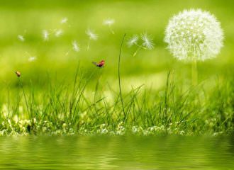
Efforts towards ecosystem restoration can range from school projects, such as establishing small ponds, to drain blocking on peatlands or restoring native woodlands.
Learning and Art

Come and see our public exhibition aimed at characterising, mapping, monitoring and planning landscapes, from Wales to the World.

View learning material for all levels and higher education courses that provide training relevant to Living Earth.
An overview of research relevant to Living Earth in Wales
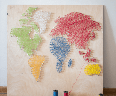
Creations and designs relevant to Living Earth
Photographs from Wales
Join Livingearth
How to contribute
Living Earth is an open resource that allows individuals, groups, organisations and countries/regions to better understand how to plan the restoration of landscapes through knowledge of the past. Living Earth also provides a structure that facilitates collaboration in the planning of landscapes and realisation of goals and ambitions.