Earth observations
Many sensors mounted on spaceborne and airborne platforms have provided a unique historical record of how human activities and natural events or processes have affected our Planet.
Spaceborne and airborne sensors have been in operation since the 1950s (and some before) and have provided observations at spatial resolutions ranging from less than 1 m to over 1 km from local to global scales. The frequency of observation has generally been greater (typically sub-daily) for coarser and least for moderate to fine spatial resolution sensors. However, multiple sensors of the same or similar type (e.g., CubeSats) can provide near daily observations at sub- meter resolution. Sensors also operate in different regions of the electromagnetic spectrum, including the visible, near, shortwave (optical and lidar), and thermal infrared and microwave (radar).Whilst data from individual sensors can be useful, the capacity to quantitatively describe the varying states and dynamics of environments is increased substantially when they are used in combination. Earth observations from aircraft and satellites are a valuable and important asset as they provide a historical record of the changes that have shaped the landscape over the past 70 years and allow quantitative retrieval of environmental descriptors that are using in Living Earth to generate maps of land cover, habitats and change. Increased public access to data, particularly following public release of Google Earth (2001), the Landsat archive (2012) and Sentinel optical and radar data (from 2015), has helped to realize the potential and benefit of Earth observations. The concurrent development of advanced computing infrastructures, data cube configurations, and open source software has allowed these data to be stored, processed and analyzed to provide useful information on the changing state and function of landscapes. By coupling Earth observation data with this computing capability, significant advancements have been made in quantifying environmental variables and interrogating dense time-series of data to classify landscapes and understand and quantify natural and human-induced change.

Include those mounted on drones, record sunlight reflected from surfaces and provide information on the composition, structure and moisture content of surface materials. When captured in stereo, these data can be used to generate three-dimensional surfaces and volumes.

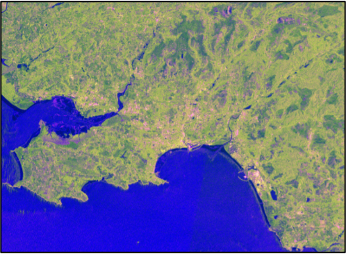
Radio Detection and Ranging (RADAR) sensors provide cloud-free observations and information on the three-dimensional geometry, moisture content, and size of landscape components and surface elevations.

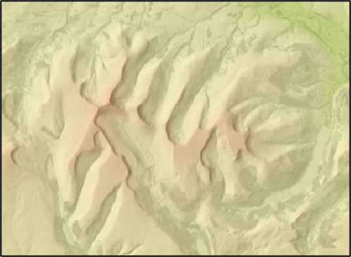
Light Detection and Ranging (LIDAR) sensors measure the time and hence distance of light transmission and can measure, with high fidelity, the height of the terrain surface and the vertical and horizontal distribution of plant materials.