Big Data
Living Earth relies on big data storage, processing and analytic platforms that facilitate online access to the full archive of time series of satellite radar and optical data in an analysis-ready-data (ARD) format.
The Open Data Cube is used by CSIRO’s Earth Analytics Science and Innovation (EASI), Geoscience Australia’s Digital Earth Australia (DEA) and the Welsh Data Cube (WDC) analysis platforms to provide access to the full archive of time series of Landsat sensor, Sentinel-1 radar and/or Sentinel-2 optical satellite ARD. Living Earth has recently demonstrated capacity to generate land and water classifications using the Open Data Cube in Papua New Guinea using EASI, which are consistent with those being generated for Australia (through DEA) and Wales (through the WDC).

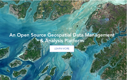
Open source geospatial data management and analysis software and capablity for processing and analysing Earth observation data.

A catalogue of global satellite imagery and geospatial datasets with capability for analysis at planetary levels.
A catalogue of global satellite imagery and geospatial datasets with capability for analysis at planetary levels.
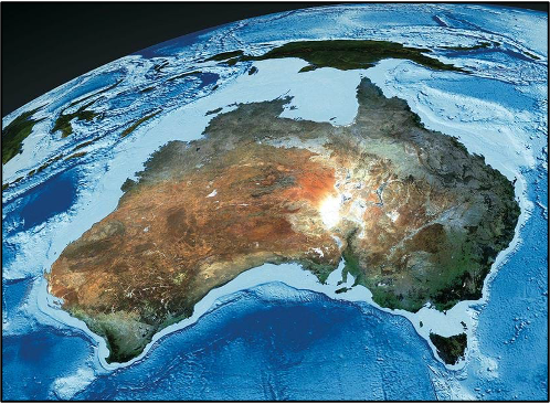
Digital Earth Australia (DEA) is an analysis platform providing access to standardised analysis-ready-data (ARD), analytic capability and tools.
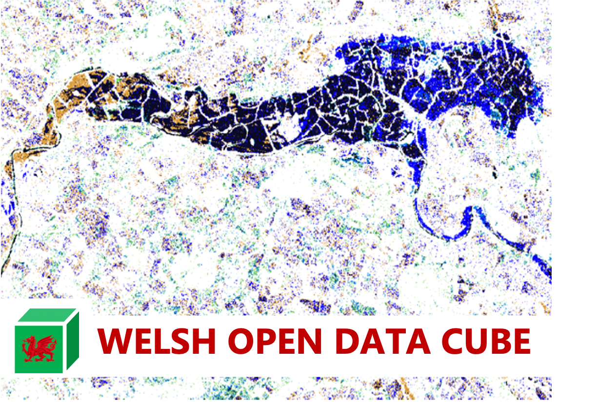
The Welsh Data Cube houses a growing archive of Sentinel-1 radar and Sentinel-2 optical data as well as the products derived from these.
The Swiss Data Cube is a cloud-computing platform providing satellite data processed to an Analysis Ready Data (ARD) format and covering the geographical extent of Swizerland.


