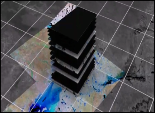
Welcome to Living Earth
Living Earth provides unique capacity to capture consistent and scalable information on the states and dynamics of past and present landscapes that can inform planning for the future.
Quick Links to Open Source Tools
Themes

Land cover and Habitats
First, map and describe land cover and habitat classes from Earth observations, providing further differentiation using contextual information

Water: Fresh, brackish or marine
Include information on water states, surface and volumar properties and substrate types

Change, Impacts and Pressures
Gather evidence for change impacts by comparing these maps and environmental descriptors used in their construction over time and then reference driving pressures.

Accounts
Generate what are termed natural accounts to inform on values of landscapes and how these have changed.
News
Read all articles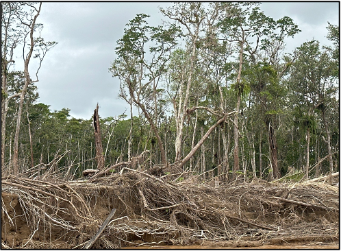
Australian evaluation of Earthtrack
"The Earthtrack mobile application has been evaluated in Australia"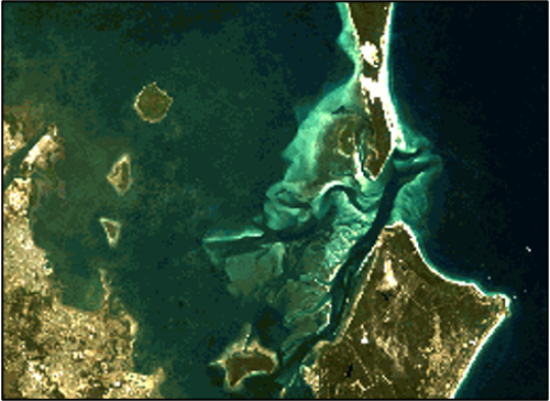
Earthtrack users: water or mudflat
"When recording information in the intertidal zone, all areas should be associated with water as if it was high tide."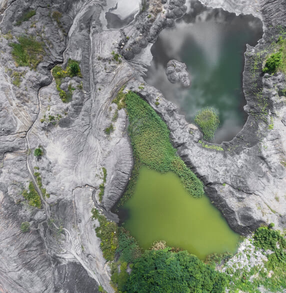
Living Earth - an open resource
How you can contribute
Living Earth allows individuals, groups, organisations and countries/regions to develop, access and/or use resources associated with Earth observations in land management and policy for economic, societal and environmental benefit.

