Tools
For Developers
Access, analyse, and work with Living Earth's underlying data — from raw satellite archives to analysis-ready products.
What do you want to do?
Browse by Country
Ground observation data collected worldwide through Earthtrack, plus web-service access to the full archive.
Analysis-ready satellite data and Open Data Cube access for Wales.
Analysis-ready satellite data and Open Data Cube access for Switzerland.
Analysis-ready satellite data and Open Data Cube access for Australia.
Get the Data
Our access portal provides Living Earth regional products as well as links and directories to other Opensource EO datasets.
Why are Earth observation data important?
For decades, airborne and spaceborne sensors have been acquiring data across Wales, Switzerland, Australia and many other regions in varying modes and across a range of spatial resolutions and temporal frequencies. These sections provide information on and access to a range of data, much of which is in an analysis ready data (ARD) format.
These data include freely accessible radar and optical data acquired by the Sentinel-1 and 2 respectively, which are provided in both near real time and as historical archives and can be downloaded at no cost.
How can I download satellite data in an analysis ready data (ARD) format?
Direct links to the ARD for each country or region are listed under Browse by Country above.
How can I download the Living Earth products, such as land cover, habitat and change maps and the environmental descriptors?
The products generated through Living Earth can be downloaded directly from the interactive map.
Can I access the data through your country's data cube?
If you do not want to download the data but instead use within the Open Data Cube for your country or region to access the ARD and derived products. You will need to request a login on each occasion. All data and derived products can be downloaded whilst your own datasets can be uploaded and integrated into your workflows. Login links for each country are listed under Browse by Country above.
How do I get access to the ground observation records submitted to Earthtrack?
Earthtrack data are available for viewing on the Earthtrack mobile application immediately following submission.
Submitted data are also transferred immediately to Natural Apptitude's Coreo database, whereupon they are reviewed internally for record and image quality and content, and released within a day of submission to the Earthtrack Geoportal where they are available for download.
All points can be downloaded from the Geoportal, but subsets can be selected by defining or drawing a region of interest. The direct access links are below:
| Dataset | Direct link |
|---|---|
| Habitat | Open habitat map ↗ |
| Change | Open change map ↗ |
| Fire | Open fire map ↗ |
Can the Earthtrack data be accessed via a web-service?
All Earthtrack points can be accessed by connecting to the Web Feature Service on your software through the URL https://earthtrack.aber.ac.uk/services/wfs.
Analyse the Data with Jupyter Notebooks
When you sign in, you will have access to a historical but accumulating archive of satellite data and derived products, including environmental descriptors and the annual land cover maps constructed from these using the Living Earth system. You can interrogate, process and analyse these within the data cubes without having to download any data to your own computer. A wide range of Jupyter notebooks are available which you can explore and use to build or modify your own.
Login links for each country's data cube are listed under Browse by Country above.
Code & Repositories

GitHub
All Living Earth software, including this website, is hosted and developed collaboratively on GitHub.

Land Cover Classification
Code for classifying land cover according to the FAO Land Cover Classification System (LCCS).
Change Taxonomy
Code implementing the Global Change Taxonomy and Evidence-Based Change Framework, linked directly to FAO LCCS.
Notebook Repositories
Country-specific algorithm repositories for retrieving and classifying environmental descriptors, enabling consistent validation across countries.

Jupyter Notebooks
Standardised notebooks for exploring and analysing satellite data in your personalised country workspace — use as-is or modify and share.
Classification Schemes
Background on the land cover, habitat and change taxonomies that this code implements.
Tools & Platforms
The Open Data Cube is used by CSIRO's Earth Analytics Science and Innovation (EASI), Geoscience Australia's Digital Earth Australia (DEA) and the Welsh Data Cube (WDC) analysis platforms to provide access to the full archive of time series of Landsat sensor, Sentinel-1 radar and/or Sentinel-2 optical satellite ARD. Living Earth has recently demonstrated capacity to generate land and water classifications using the Open Data Cube in Papua New Guinea using EASI, which are consistent with those being generated for Australia (through DEA) and Wales (through the WDC).
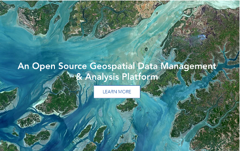
Open source geospatial data management and analysis software and capability for processing and analysing Earth observation data.
A catalogue of global satellite imagery and geospatial datasets with capability for analysis at planetary levels.

Microsoft's catalogue of global environmental and satellite datasets, with APIs for searching and accessing the data at scale.
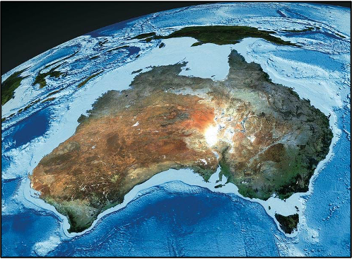
Digital Earth Australia (DEA) is an analysis platform providing access to standardised analysis-ready-data (ARD), analytic capability and tools.
The Welsh Data Cube houses a growing archive of Sentinel-1 radar and Sentinel-2 optical data as well as the products derived from these.

The Swiss Data Cube is a cloud-computing platform providing satellite data processed to an Analysis Ready Data (ARD) format and covering the geographical extent of Switzerland.