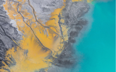
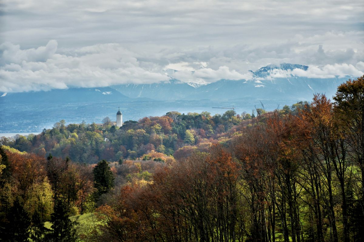
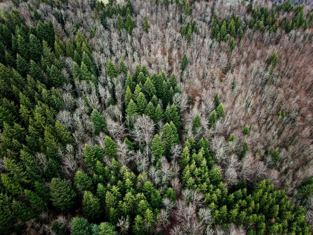
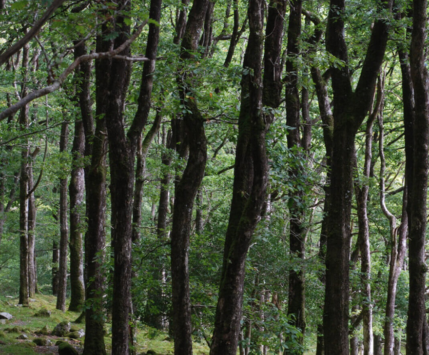
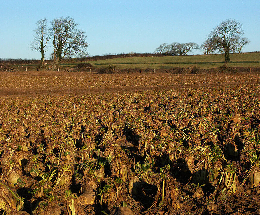
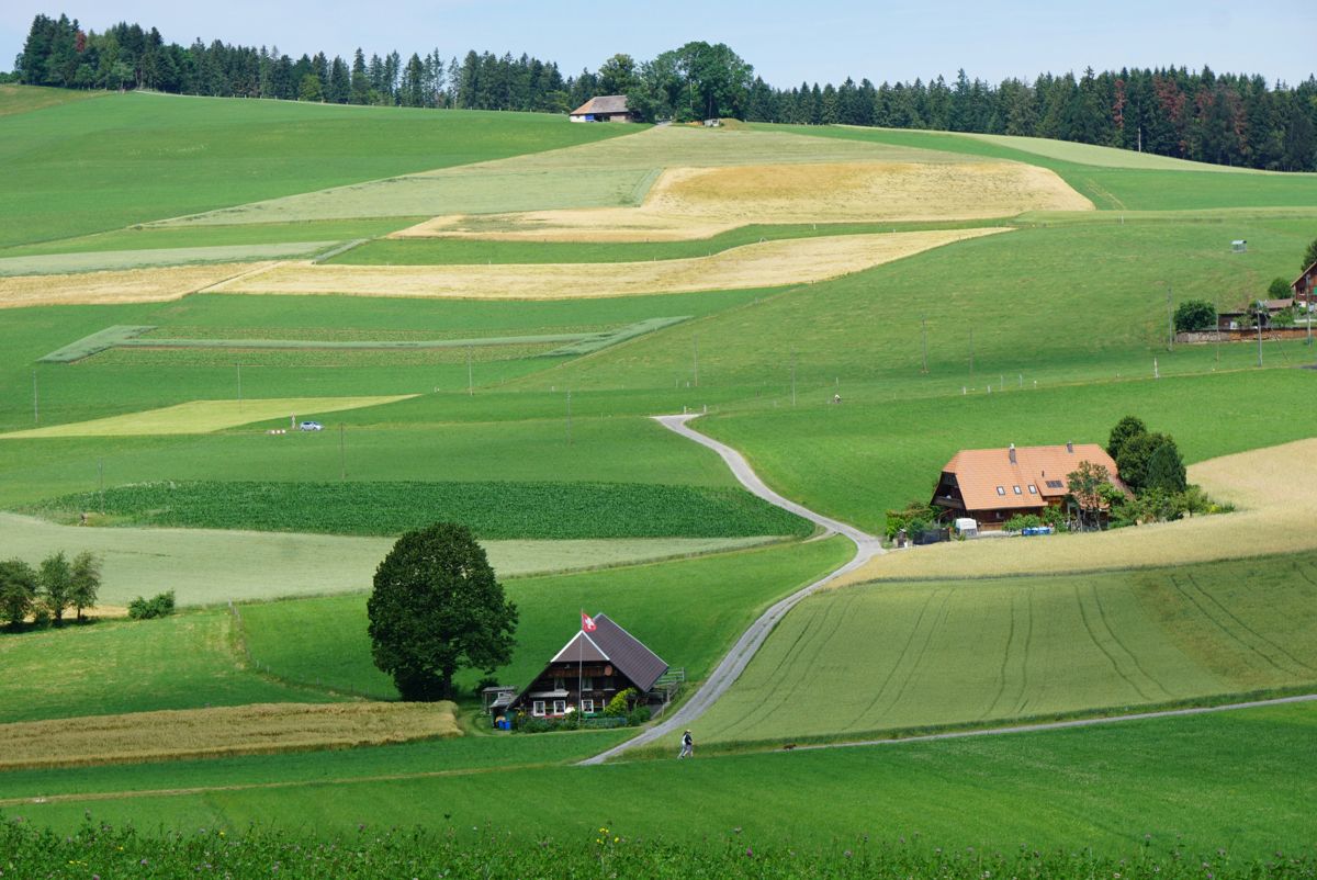
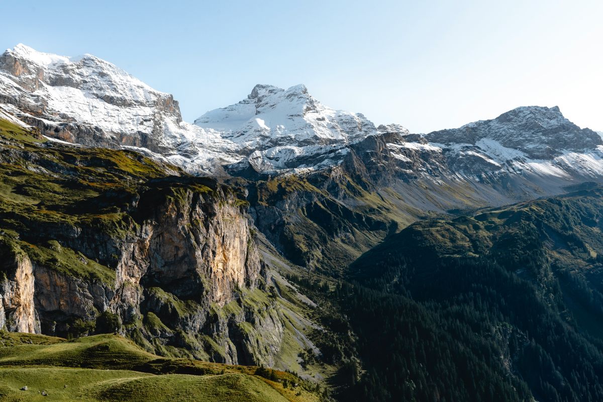
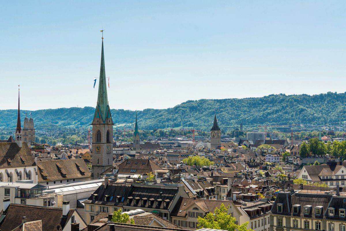
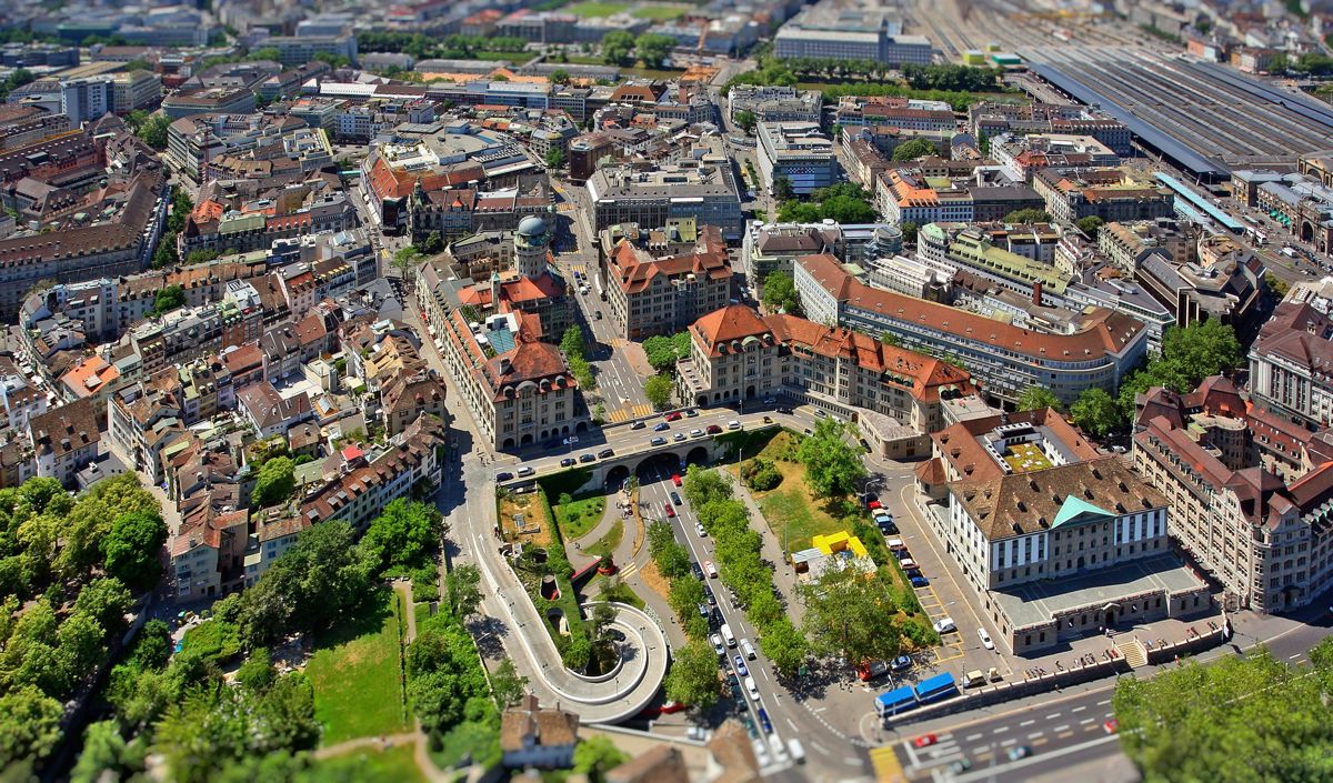
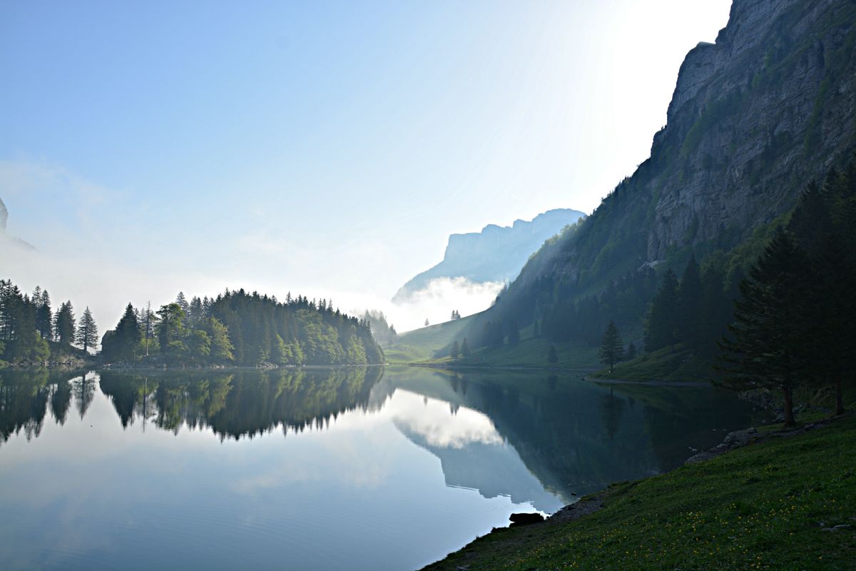
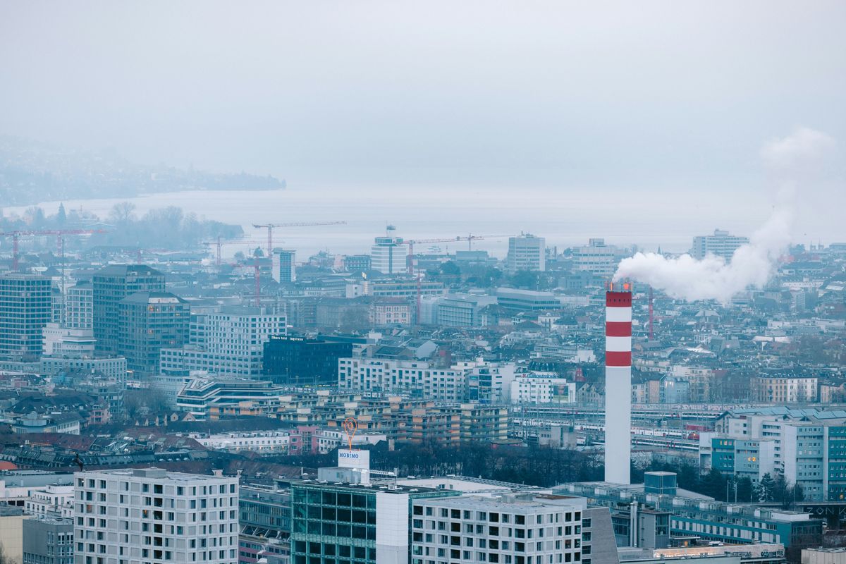
From knowledge of the past, we can inform the future but we need the tools to capture how we have historically shaped the Swiss landscape of today. Earth observation data from satellites and aircraft give us a unique insight and so we have worked to develop a series of globally-applicable tools that allow us to describe, map and monitor land covers, habitats and ecosystems.
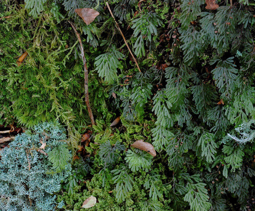
LifeformVegetation life-form (growth form) classes are defined based on structural similarities of plants. Three main life-forms are encountered in nature: woody (trees and shrubs), herbaceous (grasses and forbs) and lichens/mosses.
Leaf typeDistinguishes broad-leaf (primarily flowering plants, including trees), needle-leaf (needle-shaped leaves) and aphyllous (thorns, scales, green stems, branches or twigs).
PhenologyThe study of the timing of vegetation life-cycle events, such as budburst, flowering, leaf colouring and leaf fall. Most plants are evergreen, deciduous, mixed deciduous/evergreen, or semi-evergreen/semi-deciduous, whichever is dominant.
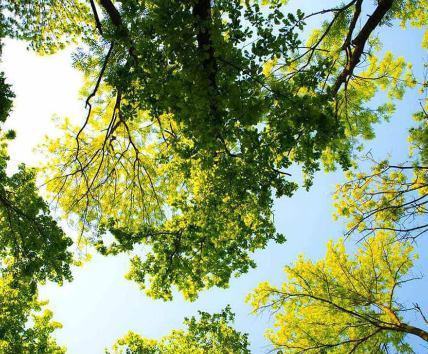
Canopy CoverThe percentage of the ground covered by a vertical projection of the outermost perimeter of the natural spread of plant foliage. Strongly influences water, energy and matter fluxes of land surfaces, particularly hydrological processes.
Canopy HeightThe height of a vegetation layer measured from the ground to the average top of the dominant strata (trees, shrubs, forbs, grasses, mosses or lichens).
Plant SpeciesCategories of plants which show common attributes and are called by a common name. Important for maintaining genetic diversity and wildlife habitats, and often used as indicators of environmental change.
Woody BiomassThe total mass of living plant material per woody area. Can consider both above- and below-ground components.
Herbaceous BiomassThe total mass of living plants that have a non-woody stem, per area.
Foliar ChemistryThe chemical content within the leaves of the canopy — examples are chlorophyll (a and b), carotenoids and nitrogen. Changes occur in response to seasons and plant health.
Canopy LayersVegetated areas are composed of a top canopy layer, but also have a vertical structure with different understory layers/strata — tree, shrub, field and/or ground layers.
Non Photosynthetic VegetationVegetation cover that does not take part in photosynthesis — dormant, senescent or dead vegetation, plus the woody parts of plants. Impacts carbon, water and nutrient fluxes, fire frequency, erosion and habitat quality.
Leaf Area IndexThe total area of one-sided leaves per ground surface area. A fundamental property of the plant canopy, playing a key role in solar radiation absorption through photosynthesis and vegetation growth.
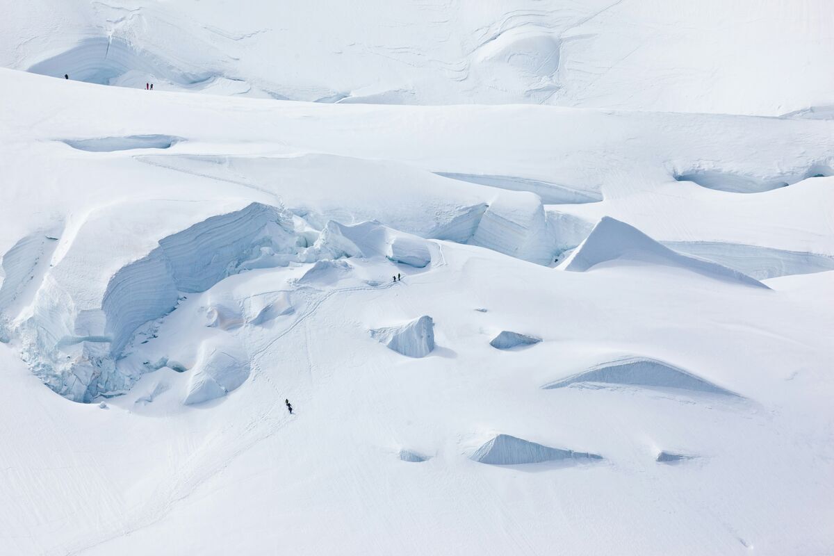
Snow Cover FractionThe fraction of land area covered by snow. Snow has a very high albedo, which cools the Earth's surface, so snow cover directly affects the Earth's energy balance.
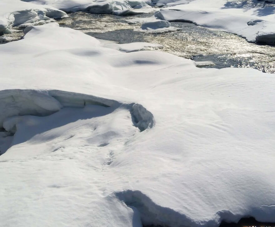
Snow Water EquivalentThe amount of water contained within the snowpack — the depth of water that would theoretically result from instantaneous snowpack melting. Correlates with snowpack depth and density.
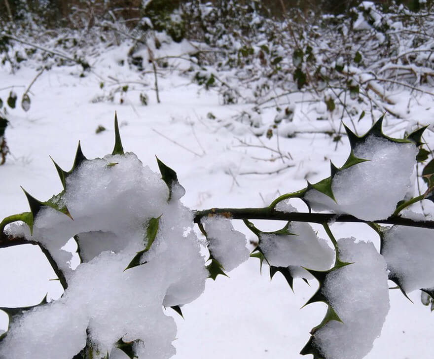
Snow DepthThe total depth of the snowpack, used to estimate the amount of snow covering the ground. Linked with snow water equivalent for water stock monitoring and flood forecasting.
Artificial MaterialsUrban areas are characterised by the substitution of natural covers with artificial, mostly impervious, covers. These affect the water cycle, carbon cycle, energy balance and biodiversity — for example, bitumen surfaces block water infiltration and groundwater recharge.
Urban VegetationVegetation in cities, classified separately from other vegetation as it is surrounded by impervious surfaces that impact water, energy and material fluxes. Provides ecosystem services such as pollutant and fine-particulate filtering.
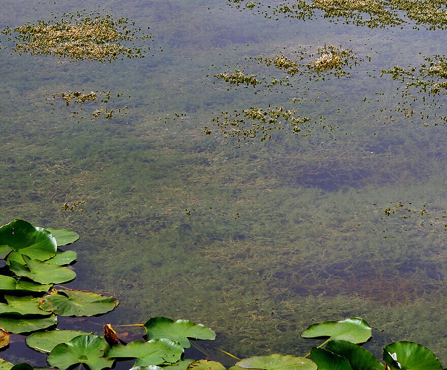
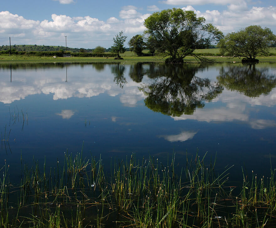
Water ExtentThe location of the boundary between a water body and the adjoining land surface, or a surface covered by water. Note that water can exist as snow or ice.
Water DepthThe underwater depth of the floor of water bodies such as lakes and rivers. Affects the amount of sunlight reaching the floor, which in turn affects plant and fauna life.
Water TurbidityThe measure of water transparency, used to assess water quality. Drinking water should have a turbidity of less than 4 NTU (WHO). Also affects photosynthetic activity and oxygen concentration in water ecosystems.
Water SeasonalityThe persistence of water at the surface, which depends on precipitation rates, soil permeability and geological formations. Important for agriculture, water supply and biodiversity.
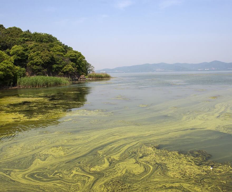
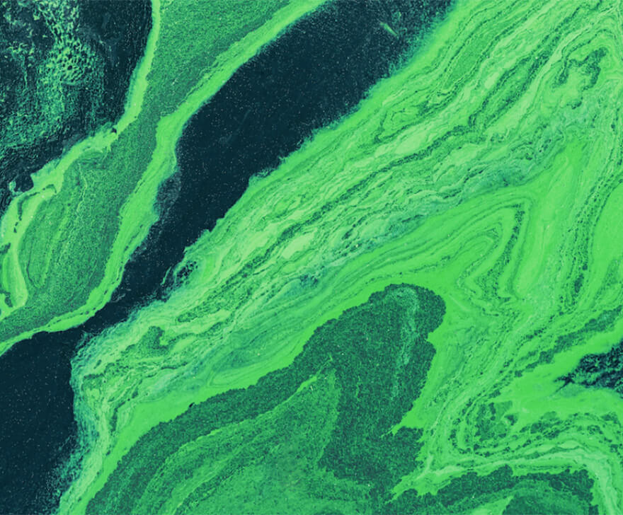
CyanobacteriaFree-living photosynthetic bacteria, more commonly known as blue-green algae. Single-celled and photosynthetic, living freely in the water column or as mats attached to sediment, rocks and plants — an important component of freshwater ecosystems.
Algae BiomassChlorophyll a is ubiquitous in phytoplankton and higher plants and a proxy for phytoplankton biomass. Cyanobacteria are also considered phytoplankton as they contain chlorophyll a, but they are not algae.
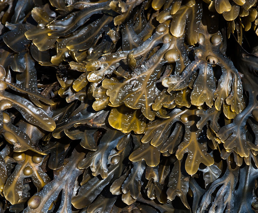
MacroalgaeLarge, multicellular marine algae (seaweed). See the Big Seaweed Search project for citizen-science recording: bigseaweedsearch.org/explore
Soil MoistureThe volume of water contained within soils. Soil moisture can influence levels of vegetation water stress and flood risk.
Soil AciditySoil acidity is expressed using the pH scale. Values lower than 7 indicate acidic soils and values higher than 7 indicate alkaline soils. Influences species abundance, distribution and productivity.
Soil TextureSoil can be classified into textural classes including loams, clays and sands. Textural composition influences water-holding capacity and vegetation stress levels.
AlbedoThe ratio of total upwelling to total downwelling solar radiation at the surface, representing the energy balance at the soil-vegetation-atmosphere interface. Ranges from 0 to 1 — a surface with an albedo of 1 (e.g. snow) reflects back all downwelling radiation.
Land Surface TemperatureThe radiative skin temperature of the land — a mixture of vegetation and soil temperatures. Plays an important role in the physics of land surfaces, impacting energy and water exchange with the atmosphere.
DEMDigital Terrain Models (DTMs) represent the elevation of bare terrain, whilst Digital Surface Models (DSMs) represent the upper height of all objects on the land surface.
SlopeThe steepness or degree of inclination of the terrain relative to the plane surface. Influences wind speed and direction, and hydrological flows.
AspectThe orientation of a slope, measured clockwise from north. Along with slope, aspect regulates land surface processes including plant productivity, climate and hydrology.
Air PollutantsAir pollutants include gases such as nitrous oxide, ammonia, sulfur dioxide and particulate matter. Their concentrations inform about air quality, which influences plant and animal health.
Climate VariablesClimate variables include solar radiation, rainfall, air temperature and humidity, pressure, and wind speed and direction. Long-term trends of these variables indicate past climatic conditions.
Historical and near real-time classification of the landscape.
Many of us imagine landscapes based on what we value, including natural aesthetics or economics. Often, we have to change our views when landscapes are affected by natural events or processes or human activities.
Harmonising
Many of us have our own views of future landscapes and, more often than not, these will differ from others. Mechanisms are available to help us to co-design and agree.
Realising
In order to establish whether our proposed or planned landscapes are realistic, we need to consider what has happened in the past but also use predictive capacity in the forms of models including those that deal with ecosystem processes and distributions of flora and fauna.
Facilitating
In order to facilitate the improvement or creation of a landscape, we need tools that allow monitoring of progress towards ambitions. Living Earth provides such capability through its capacity to routinely generate land cover, habitat and change maps using Earth observation data.
Valuing
In most cases, the design and co-design of future landscapes is based on their anticipated or perceived values, which can be based on economics or the contribution of nature.
Assessing Risk
Our assets can be vulnerable to a range of pressures, whether natural events or processes or human activities, that can lead to adverse impacts. Each will operate across a different time frame (e.g., hours to decades) and can lead to partial or full loss of the asset. The likelihood of these pressures occurring and of the associated impact can be informed by their past occurrence, which can be discerned from Earth observation data, or through predictive models. Common risks to assets are based on the impacts and pressures listed in the Global Change Taxonomy.