Accounts
Valuing nature and people’s contribution through accounting of natural capital and ecosystem services and opportunities for exploring and planning future landscapes.
Biodiversity accounts are tools and methods for quantifying the diversity of life in an area to evaluate its ecological health and the impacts of human activities. Specifically this usually transposes the valuing ecological systems into values or economical based format in order to protect them, Carbon calculations are an important emerging area of growth in this sector. Environmental Accounting involves measuring various indicators, such as species richness, ecosystem stability, habitat distribution and dynamics, and genetic variability, to create comprehensive assessments. This data is used to guide sustainable development, conservation efforts, and policy-making to preserve and restore natural habitats. Living Earth habitat and environmental variable mapping is a crucial tool in supporting environmental accounting by providing detailed spatial information on different habitats and their conditions. Here’s how it is being used: Identification of Biodiversity Hotspots: Habitat mapping helps identify areas with high biodiversity, often leading to prioritizing these areas for conservation and targeted resource allocation. Assessment of Habitat Quality and Size: By evaluating the size, quality, and interconnectedness of habitats, mapping supports the assessment of ecosystem health and viability, which are key components of biodiversity accounting. Monitoring Changes Over Time: Habitat maps can be updated regularly to monitor the impact of environmental changes, human activity, and conservation efforts, providing a dynamic view of how biodiversity is preserved or altered. Visualising landscape scale environmental variables and risk factors, such as waterlogged land and flood risk areas, to support holistic habitat planning for sustainable ecosystems into the future with climate change in mind. Overall, LivingEarth habitat mapping enables more precise and effective biodiversity accounting by ensuring that assessments are grounded in the actual conditions of the ecosystems studied. This facilitates better-informed decision-making for environmental management and policy.
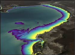
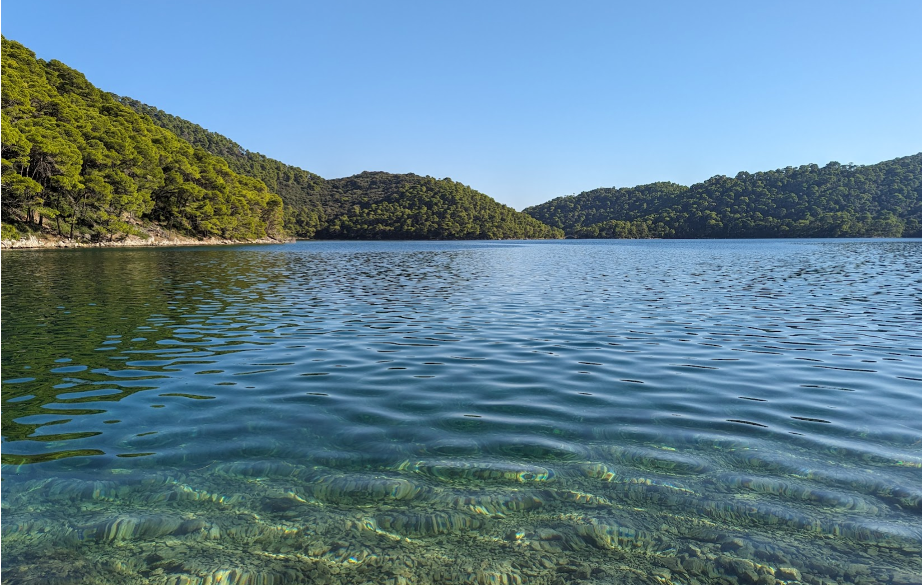
Digital Earth Australia (DEA) is developing their Intertidal Elevation maps for Australia's intertidal zone, which is providing substantive information on the dynamics of the coastal environment around Australia.
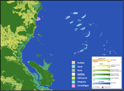
For Australia, first steps have been taken to integrate data from the Allen Coral Atlas into the Living Earth system as part of Living Coasts. Whilst only for one time-period, the study has demonstrated that what would normally be classified as non-vegetated water in FAO LCCS Version 2.0 can be described in terms of the substrate types and habitats. Further work is also focusing on bringing in the surface and columnar characteristics and extending the time-series to facilitate mapping of change.
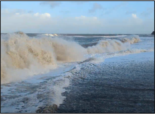
Using the Earthtrack mobile application, focus is on recording information on intertidal bare surfaces and vegetation, including macroalgae and seagrasses. The submitted observations are used to develop and validate algorithms through the Living Wales system to facilitate monitoring of these diverse ecosystems.