Developer Hub Entry
For programmers and product developers
Living Earth has been developed within the framework of the Open Data Cube and is programmed largely in python. There are numerous opportunities to advance the code for retrieving or classifying the environmental descriptors and/or advancing the classification of land covers and habitats and change.

Allows the development of code through a web-based interface.
All Living Earth software, including this website, is on github
Collaborating on code

Continental mapping of Australia for 33 years
Living Earth partners provide capacity to access the available archive of satellite data housed in the Open Data Cube through Jupyter notebooks. Standardized notebooks that allow exploration and analysis of satellite data processed to an Analysis Ready Data (ARD) as well as Living Earth and other products are available in your personalized workspace. You can use or modify these and upload to country to globally-relevant repositories.
Country-specific notebooks
Mapping, monitoring and future planning of coastal ecosystems.
The ambition of Living Earth is to create “algorithms for countries”, with focus specifically on those that retrieve or classify environmental descriptors as these are then automatically used to generate the land cover and change maps. This allows each country to have access to the best available algorithms with this facilitating advancement and succession planning and implementation. Hence, countries are then provided with the best available capacity to consistently characterize, map, monitor and plan their landscapes. As global taxonomies are used, algorithms can be exchanged between countries and outputs compared. Validation, including through the Earthtrack mobile app can also be achieved in a consistent and comparable way. The section provides a link to the repositories for each country..
Easy processing of data

National mapping of Wales through Living Earth
To access your country sandbox, and hence the cube of Earth observation data, you need to register first. Then, you will be able to run notebooks and modify accordingly.
Accessing data cube processing capability
Continental mapping of Australia for 33 years
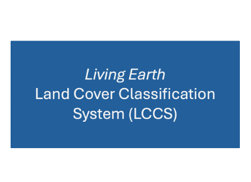
Access to the code for classifying land covers according to the Food and Agriculture Organisation (FAO) Land Cover Classification System (LCCS).
Code for classifying land cover
Mapping, monitoring and future planning of coastal ecosystems.
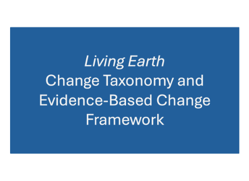
A new implementation of the Global Change Taxonomy and Evidence-Based Change Framework that is based on the Driver-Pressure-States-Impact-Response (DPSIR) framework and links directly to the FAO LCCS.
Code for change detection