Living Wales
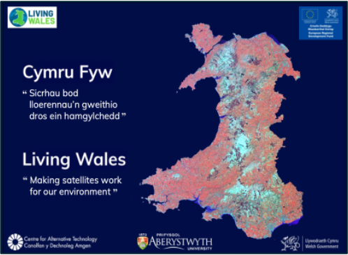
Living Wales provides full operational implementation of a national land cover mapping and monitoring system for Wales, a devolved nation of the United Kingdom.
Aims
Objectives
Strategic Plan
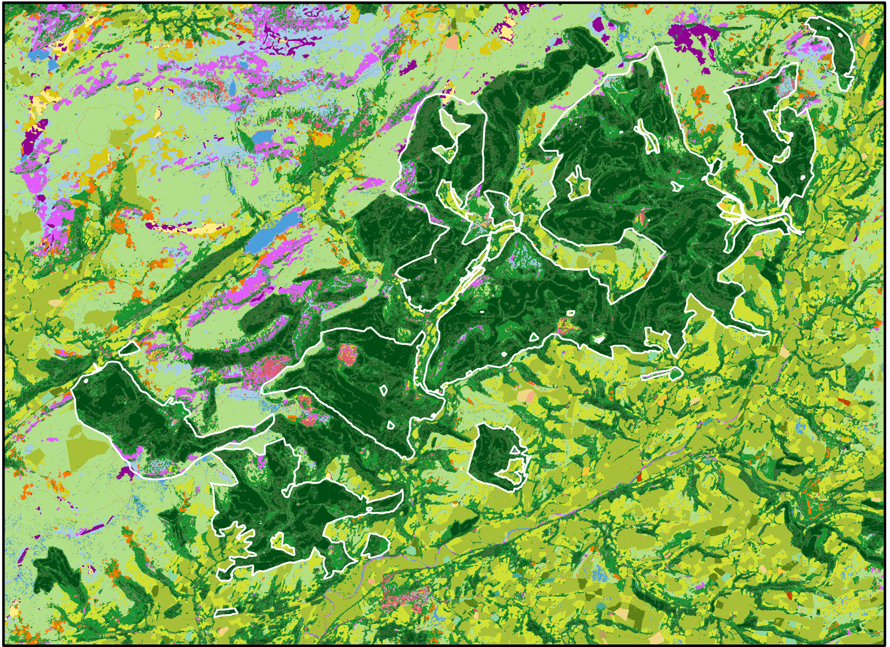
Living Wales provides direct benefit for the Welsh environment, economy, policy, society and well-being and a freely available and publicly accessible resource. To ensure that Wales, and specifically the Welsh Government, receives continued support and contributions from world-leading, UK-wide and international science, Living Wales is developing components that include: a) provisioning full and open access to Sentinel-1/2 and Landsat satellite sensor Analysis Ready Data (ARD)in near real-time and historically; b) routinely retrieving environmental descriptors from these to construct 10 m annual and sub-annual national land cover and evidence-based change classifications according to the Food and Agriculture Organisation (FAO) Land Cover Classification System ; and c) providing national capacity for validation through the use of very high resolution airborne and spaceborne data and the Earthtrack mobile applications . Capacity has also been introduced to respond to the needs of multiple stakeholders in Wales, including through provision of spatial evidence for supporting local, national and international policy, environmental protection, conservation and restoration, and emergency response. A major component has been to embed the Living Wales infrastructure and functionality within Welsh Government to facilitate ongoing, in-house, operational monitoring capability. Significant engagement, education, training and other knowledge transfer has been undertaken, including through establishment of dedicated professional and higher education training courses and continued development of the Living Wales Education and Training Centre (at the Centre for Alternative Technology (CAT)).
Our aims are:
The initial aim of Living Wales was to develop and demonstrate capacity for using Earth observations to provide near real-time and historical spatial information (< 1 to 1 km resolution) on the Welsh landscape, to support regular and routine characterisation and mapping of land covers and habitats. The ultimate ambition is to translate this capacity into an operational land monitoring scheme for Wales, with the resulting map products being made openly available for use by multiple stakeholders.
Tagline 1
Our objectives are:
The research objectives have revolved around the establishment of globally-applicable but nationally relevant approaches to land characterisation, mapping and monitoring that can support future planning of landscapes for the benefit of people and nature. Our engagement objectives include working with individuals, groups and/or organisations (e.g., governmental, business, academic) to facilitate routine acceptance and uptake of Earth observations and derived information.
Tagline 2
Planning for the future of coasts
The Strategic Plan for Living Wales (2018-2023) [LINK TO PDF on livingearthhub.org - LivingWalesStrategicPlan_2018-2023.pdf] outlined the requirement to promote and build national capability in Earth observation to benefit the prosperity of Wales, whilst ensuring long-term sustainability of the environment and resources and resilience to climate and economic change.
Tagline 3
Planning for the future of coasts
The Welsh government has committed to the Global Biodiversity Framework’s third target [LINK TO: https://www.cbd.int/gbf/targets/3] , which is to conserve at least 30 % of land, waters and seas by 2030. Living Wales is able to contribute to this ambition by providing up-to-date, repeatable land cover and habitat maps for Wales. The maps generated further allow existing and potentially future connections between landscape elements to be considered when planning and targeting conservation, protection and designation. The provision through the Welsh Data Cube of satellite sensor data facilitates consistent (currently annual) monitoring of non-designated and designated sites (e.g., National Parks, Sites of Special Scientific Interest (SSSIs)), with this supporting assessment of progress towards nature’s recovery.
Tagline 3
Planning for the future of coasts
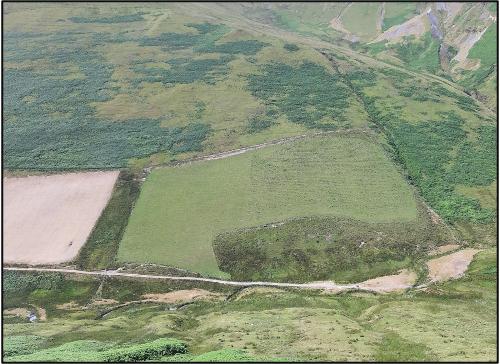
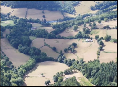
Effective monitoring of agri-environment schemes requires consistent, repeated landscape mapping to establish baseline conditions and changes from these. Living Wales has generated maps nationally and for multiple years and these can provide useful information on change, particularly where land cover and habitat classes occupy areas larger than the nominal 10 m map resolution. However, more detailed mapping is often needed, particularly as many schemes are focusing on replanting forests, restoring hedgerows and revitalising wetlands. Living Wales is able to support this by determining, from very high resolution airborne and spaceborne data and derived products, the area proportions within each 10 m cell and summary metrics (e.g., average height and cover of hedgerows). Furthermore, the land cover classification can be repeated using environmental descriptors obtained from these higher resolution data or the classes can be translated into others taxonomies. The mapping can also be used to direct and/or prioritise ground-based evaluations, which can be assisted through use of the Earthtrack mobile application [Link to https://livingearthhub.org/tools/earthtrack-app-information/], which allows on-site recording of land cover, habitats and change.
Tagline 3
Planning for the future of coasts
Living Wales’ consistent approach to land cover and habitat mapping is well-placed for characterising and identifying changes to our natural environments, most of which are influenced by human activities. The national maps for Wales allow the extent of different land covers and habitats to be estimated, with the environmental descriptors used in their construction providing information on habitat condition. Furthermore, many of the environmental descriptors can be related directly to the distribution, abundance and richness of flora and fauna or used to support modelling of these metrics. The Living Wales maps therefore provide significant opportunities to provide information that can be used to report on the states and dynamics of Wales’ landscapes and support assessments of how biodiversity might be responding to change. Living Wales can additionally help to make the most effective use of limited field-based resources by identifying priority areas to target ground-based investigations.
Tagline 3
