
Past & Present Landscapes
How can we track progress?
Past & Present LandscapesView all
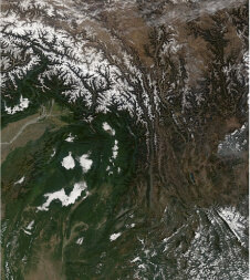
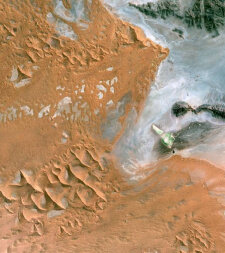
From knowledge of the past, we can inform the future but we need the tools to capture how we have historically shaped the landscapes of today. Earth observation data from satellites and aircraft give us a unique insight and so we have worked to develop a series of globally-applicable tools that allow us to describe, map and monitor land covers, habitats and ecosystems.

Analysis Ready Data
Download and pre-process satellite sensor data to an analysis ready format

Environmental Descriptors
Obtaining from existing sources or algorithms for retrieving or classifying from Earth observation data

Mapping
Combining the environmental descriptors to generate maps of land cover according to the Food and Agriculture Organisation (FAO) Land Cover Classification System (LCCS).
Monitoring
Consistenty describe and quantify change based on impacts and pressures
Validation and calibration
Record environmental descriptors, land cover, habitats and change on the ground